Randonnée circulaire au Taltbühl vers Totmoos et Wolfsgrube
This circular hike in Obergummer|San Valentino di Sopra, located in the municipality of Karneid|Cornedo all'Isarco, leads you through quiet forests, gentle hills and past two unique places: the natural landmark Totmoos, an idyllic pond-like biotope with water lilies, and the historic wolf pit, one of the last remaining of its kind in the region – a place full of history surrounded by greenery.
At the Totmoos biotope, benches invite you to take a relaxing break – perfect for a picnic in the heart of nature. For a more rustic experience, the nearby unmanaged forest hut offers a covered table and benches – ideal for a quiet pause.
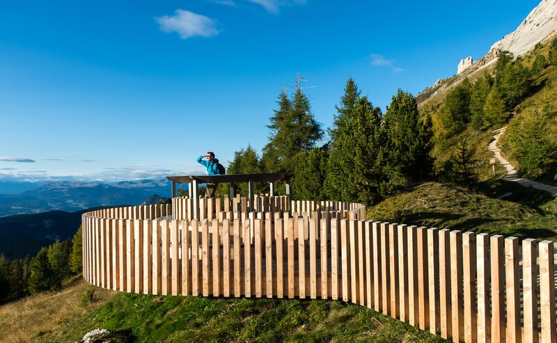
Time and again, the trail opens up to panoramic views of the Rosengarten|Catinaccio massif, the Schlern|Sciliar and the Tiers|Tires Valley – a scenic hike that combines natural beauty with peaceful moments. Ideal for those who appreciate tranquillity.
Please note: There are no refreshment stops along the trail. However, during the summer months, you can make a detour to the malga Hagner hut to enjoy some food and drink.
Distance from the wolf pit to malga Hagner hut: 2.5 km – about 40 minutes on foot.
- Insider tip
- Flora
The hike starts either at the Obergummer|San Valentino di Sopra bus stop or from the car park near the guesthouse Lärchenwald (1,350 m). Follow trail [3] towards the farm Seaphof/Zipperle. At the farm Weggut, turn left and continue along trail [22] through peaceful woods to the Totmoos biotope (1,625 m) – a great spot for a first break.
The trail continues to the Wolf Pit (1,506 m), a historic site surrounded by greenery. From there, follow trail [1] back to your starting point.
Tip: If you’ve still got energy, make a detour to the malga Hagner hut (2.5 km | approx. 40 minutes’ walk) – a great place for a break during the summer months.
Getting to the starting point of the tour by public transport is easy and convenient.
By public bus line
- 182 from Bozen | Bolzano
- 187 from Welschnofen | Nova Levante
- 180 from Karersee | Lago di Carezza, Karerpass | Passo Costalunga, Val di Fassa*
- 184 from Oberggen, Eggen | Ega*
- 181 from Weissenstein | Pietralba, Petersberg | Monte San Pietro, Deutschnofen | Nova Ponente, Stenk*
- 187 or 182 from Gummer | San Valentino in Campo
*change in Birchabruck | Ponte Nova to the line 182
Bus stop: Obergummer | San Valentino di Sopra;
online timetable search at South Tyrol Mobility
Starting point: Busstop in Obergummer|San Valentino di Sopra
By car:
Destination: Obergummer | San Valentino di Sopra
Parking: Public and free parking lot near the guesthouse Lärchenwald
Starting point: parking lot near the guesthouse Lärchenwald
Starting point: parking lot near the guesthouse Lärchenwald
Hiking boots
Water
Food (no places to stop for refreshments directly on the circular hike)


