
Difficulty
EasyActivity time
0:20
Duration in hours
Distance
1.3
Distance in km
Status
open
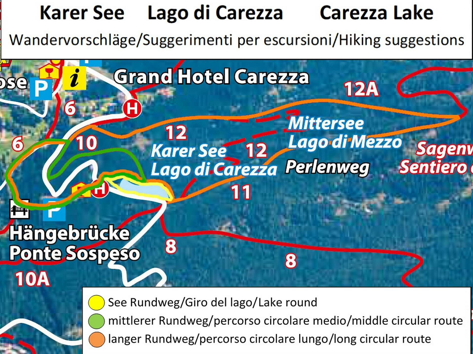
Short circular walk at Lake Carezza with a fairytale view of the Latemar and an impressive play of colors. A visitor centre with bistro and souvenir shop rounds off the experience.
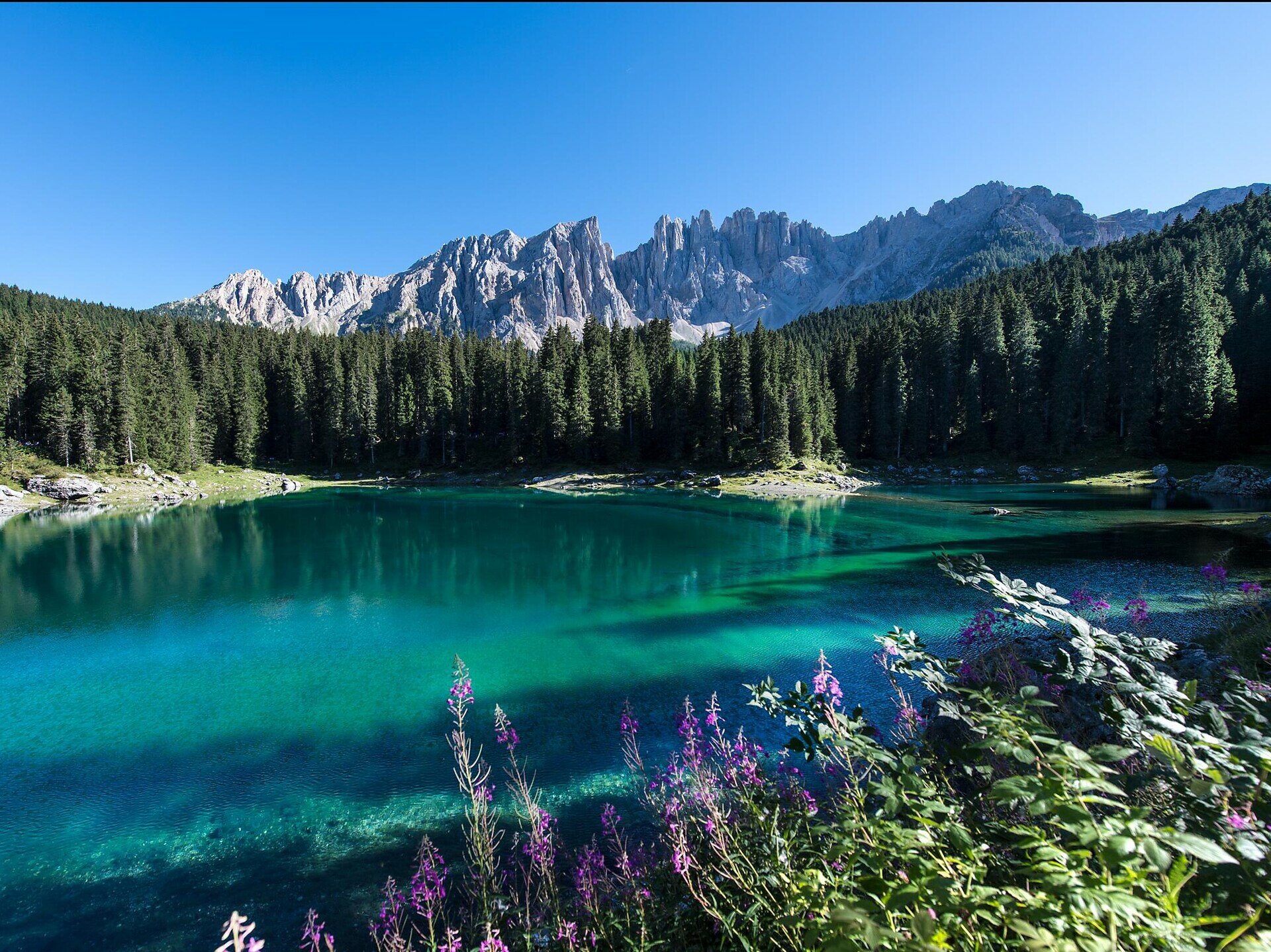
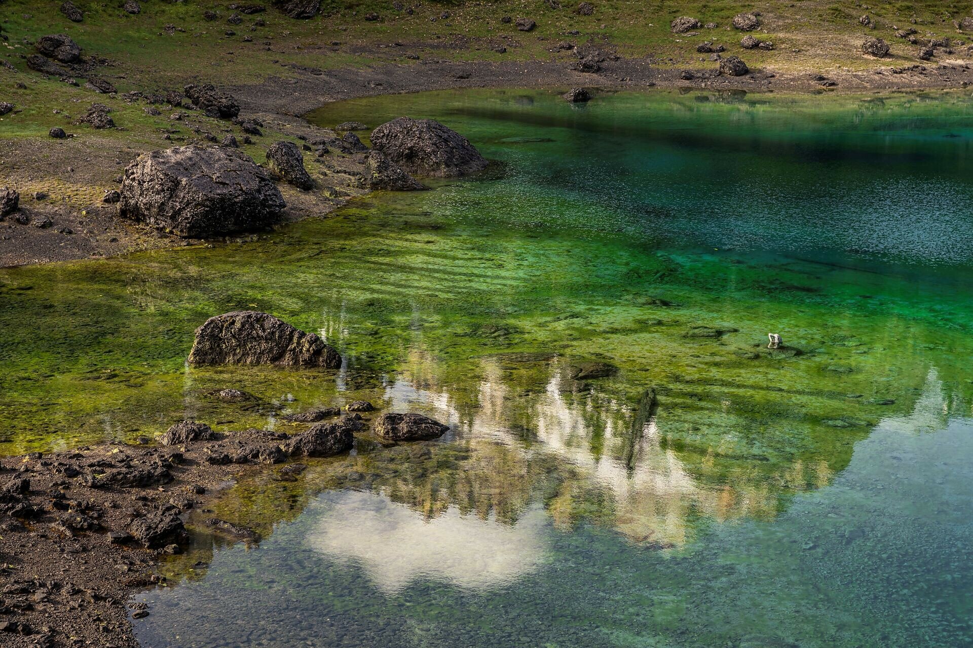
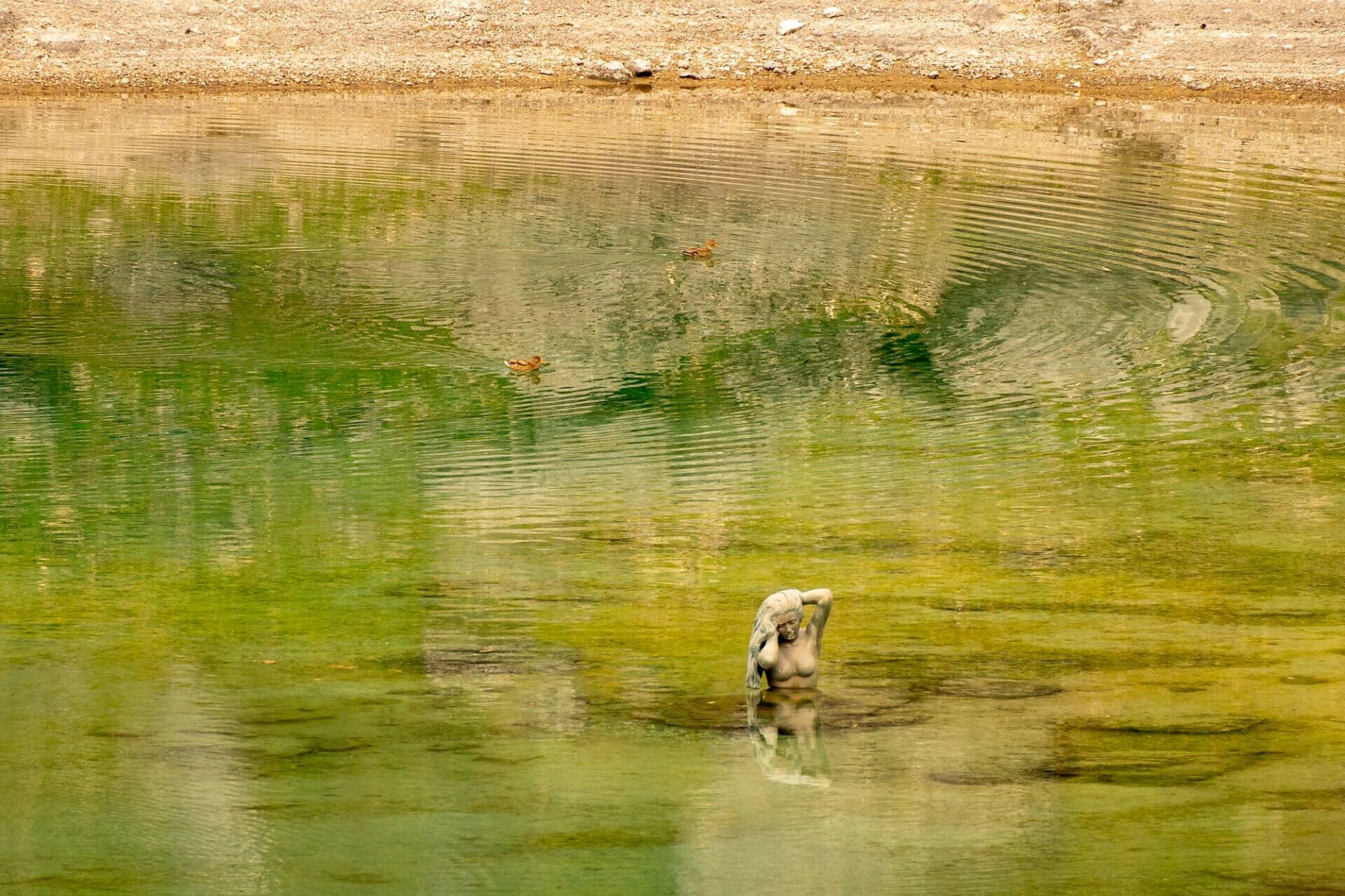
The lake of a thousand colours, Lake Carezza (Karer See | Lago di Carezza) in the Eggental valley is the famous fairytale lake of the Dolomites, where, according to legend, a water nymph lives and in whose crystal clear waters the Rosengarten | Catinaccio and Latemar are reflected. Lake Carezza changes colour, which is why it is also known as Lec de Ergobando - Rainbow lake. Lake Carezza is 300 m long and 140 m wide and lies below the Latemar massif, on the edge of the Latemar forest, at 1,520 m in the Val d'Ega. It is a protected natural monument and is fed by underground Latemar springs, which is why both its size and depth depend strongly on the season and weather conditions - the deepest depth of Lake Carezza is recorded at 22 m.
A visitor centre offers information and souvenirs, while the bistro has refreshments for hungry walkers. Curious visitors can explore Lake Carezza from every angle on the circular path!
A visitor centre offers information and souvenirs, while the bistro has refreshments for hungry walkers. Curious visitors can explore Lake Carezza from every angle on the circular path!
You might be interested in
Discover related tours


