Top

From Welschnofen | Nova Levante to Lake Carezza

Welschnofen
Add to favourites
Difficulty
Intermediate
Activity time
3:09
Duration in hours
Distance
9.2
Distance in km
Status
open
Categories
  • Hiking trail
Tags
  • Round trip
Suggested period
Jan
Feb
Mar
Apr
May
Jun
Jul
Aug
Sep
Oct
Nov
Dec
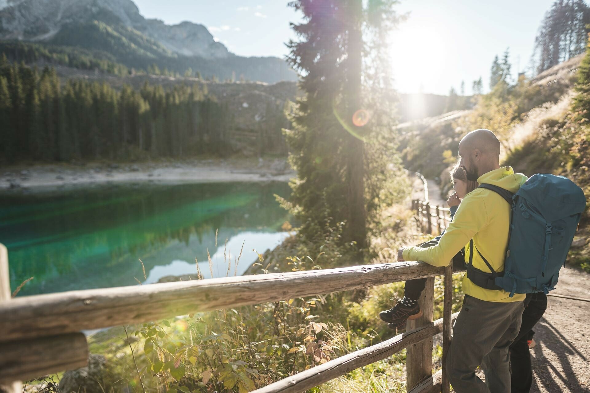
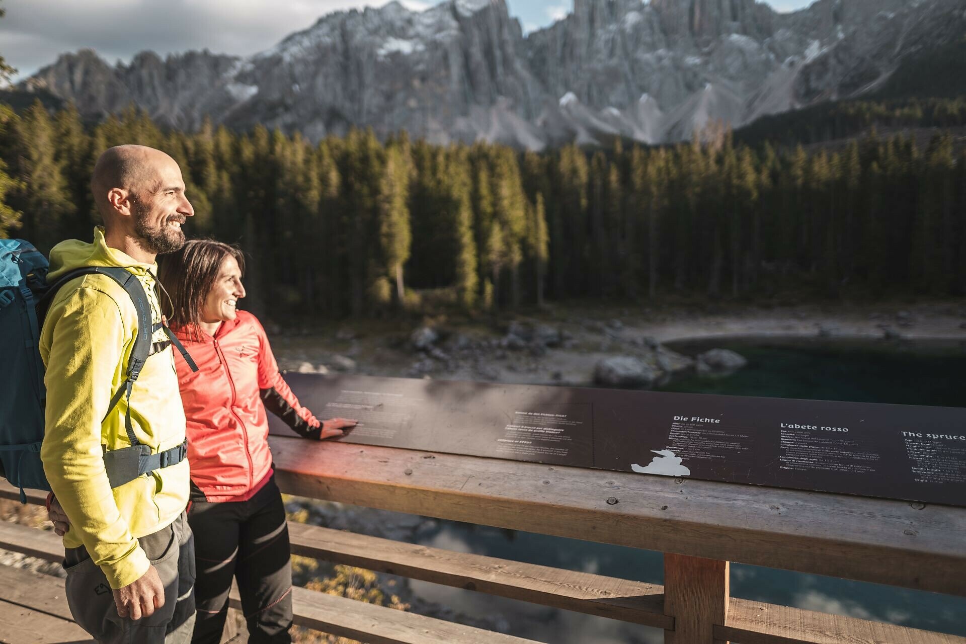
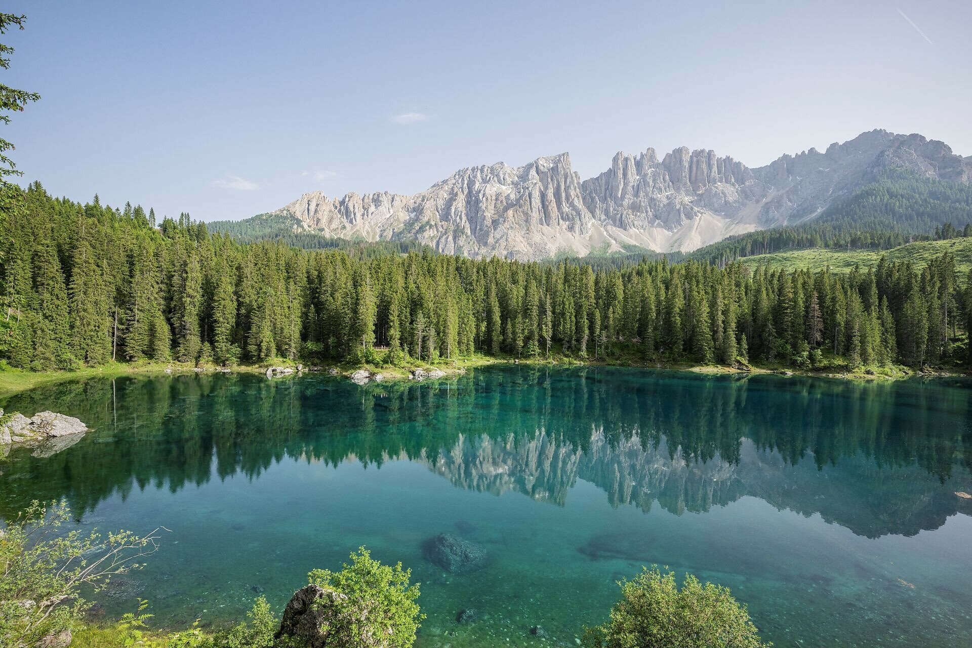
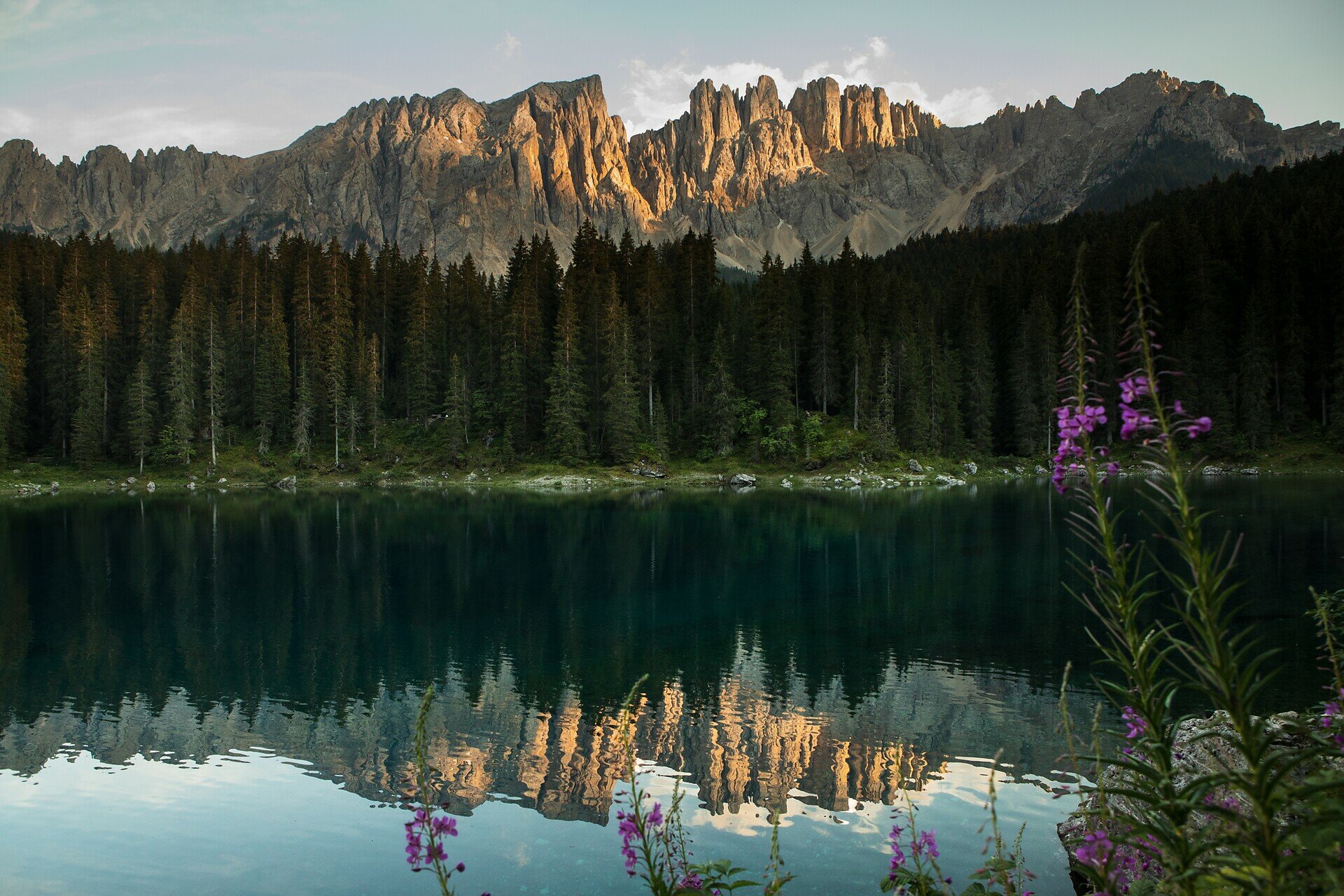
Circular hike from Welschnofen to Lake Carezza, featuring its emerald-green waters and the dramatic Dolomite backdrop.
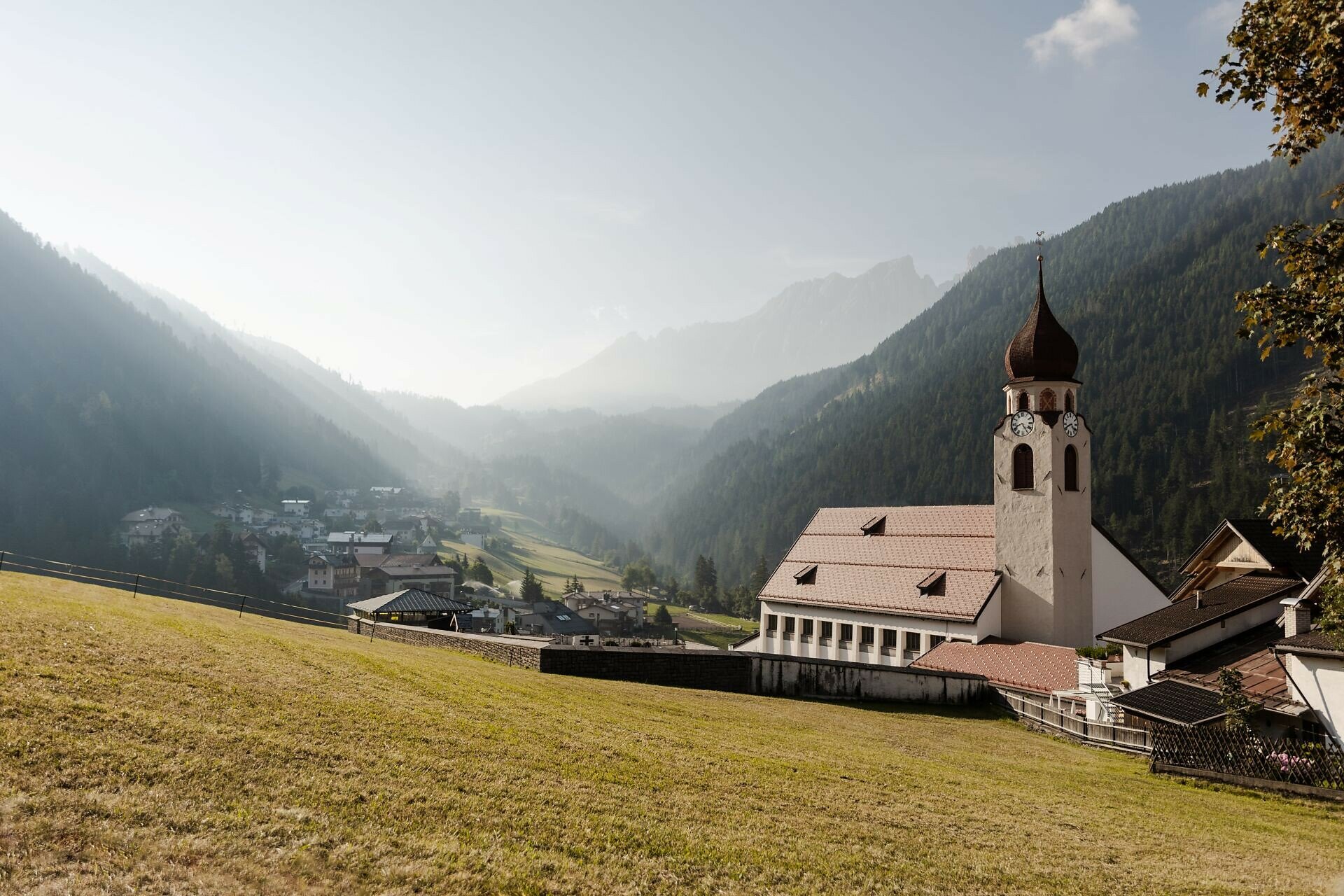
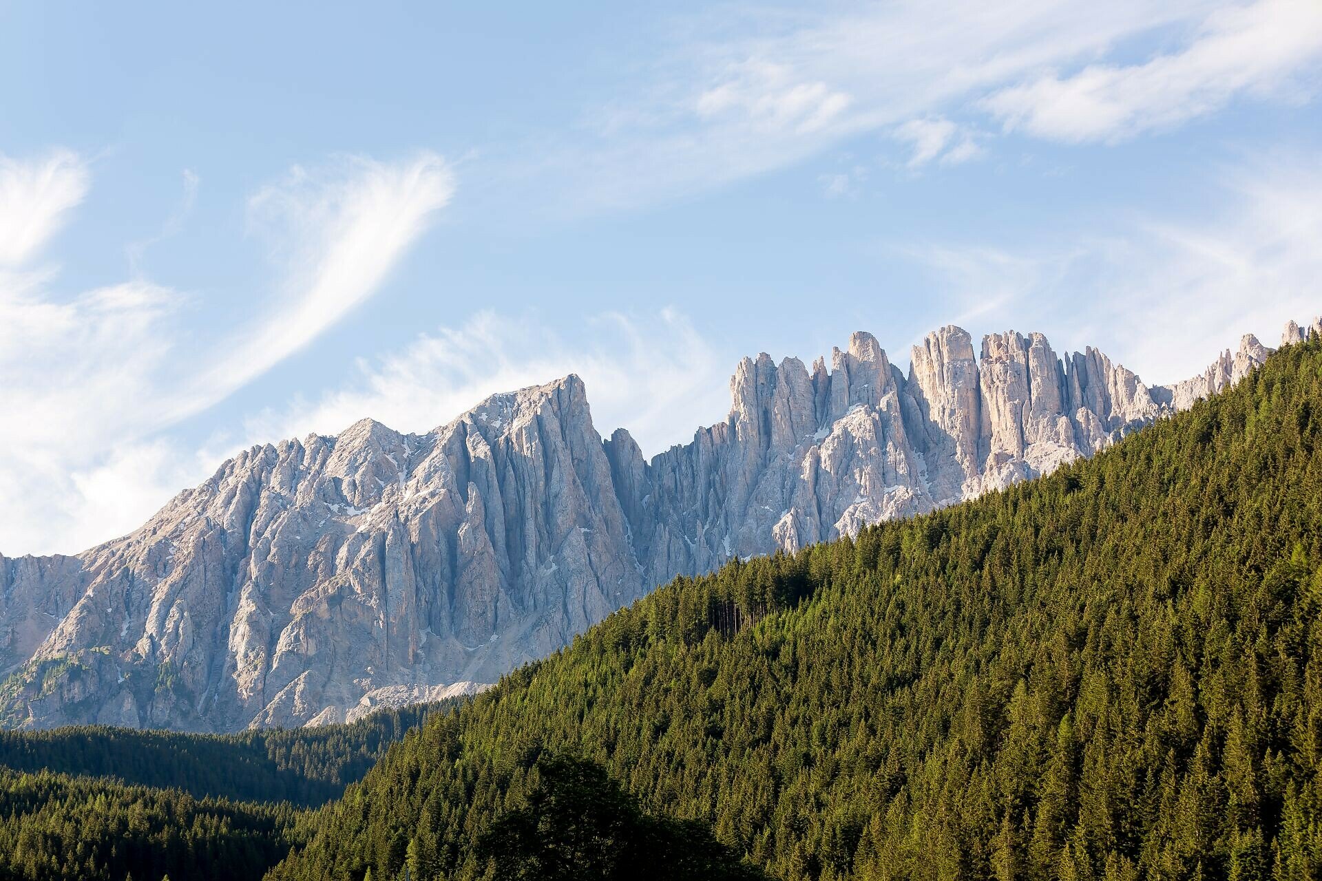
This circular hike from Welschnofen | Nova Levante leads along a shady forest path following a stream to Lake Carezza, one of the most magnificent alpine lakes, famous for its deep green water and the stunning mountain backdrop. The return to Welschnofen follows the historic "Herrensteig" path, which offers recurring views of the village of Welschnofen | Nova Levante and the peaks of the Latemar.
Gallery
Categories
  • Hiking trail
Tags
  • Round trip
Route info
Intermediate
Distance
9,2 km
Activity time
3 h 09 min
Ascent
515 m
Descent
515 m
Physical effort
Scenary
Highest point
1.541 m
Lowest point
1.107 m
Suggestions

Refreshment stops:

You might be interested in
Discover related tours
Deutschnofen | Nova Ponente, sight of church | © Thomas Monsorno, Eggental – Val d’Ega
Intermediate
Add to favourites
Deutschnofen
Hike to the Rotwand-Rotstein
Distance 8,0 km
Activity time 2 h 30 min
Ascent 324 m
Descent 157 m
Status
open
Deutschnofen
Walking trail to St. Leonhard
Distance 1,7 km
Activity time 30 min
Ascent 60 m
Descent 60 m
Status
open
Obereggen
Summer hike from Baita Gardonè into the dragon forest
Distance 1,5 km
Activity time 25 min
Ascent 37 m
Descent 37 m
Status
open
Laab Hut | © Eggental – Val d’Ega
Intermediate
Add to favourites
Deutschnofen
Hike from the Laab Alm to the Neuhütt Alm & the Leger Alm in Petersberg / Monte S. Pietro
Distance 8,4 km
Activity time 2 h 35 min
Ascent 278 m
Descent 377 m
Status
open
Sennes in direction of Fanes | © Christjan Ladurner, Aldein Radein
Intermediate
Add to favourites
Karersee, Deutschnofen, Obereggen, Welschnofen
Dolomites World Heritage Geotrail II
Distance 198,2 km
Activity time 54 h 00 min
Ascent 11.589 m
Descent 11.825 m
Status
open
Prehistoric settlement of Enzbirch | © Eggental – Val d’Ega
Intermediate
Add to favourites
Deutschnofen
Kirchsteig to the Stone Age settlement of Enzbirch
Distance 13,0 km
Activity time 3 h 55 min
Ascent 424 m
Descent 424 m
Status
open
Mountain Pass
1 Ticket – 17 lifts – 3 mountains

Holders of the Mountain Pass can use 17 lifts in the heart of the RosengartenLatemar and Schlern/Sciliar any three or five days within a period of seven consecutive days.

More informations