Top

Circular Hike from Lake Carezza to Franzin Alm

Welschnofen
Add to favourites
Difficulty
Easy
Activity time
2:02
Duration in hours
Distance
7.2
Distance in km
Status
open
Categories
  • Hiking trail
Tags
  • Family-friendly
Suggested period
Jan
Feb
Mar
Apr
May
Jun
Jul
Aug
Sep
Oct
Nov
Dec
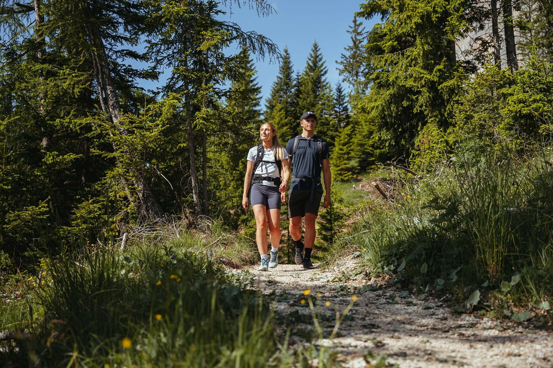
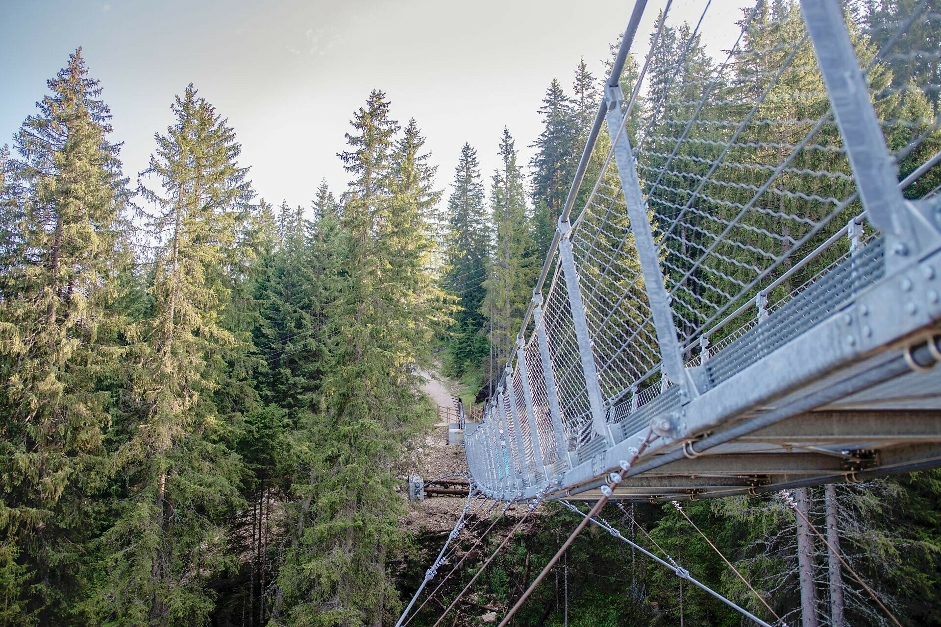
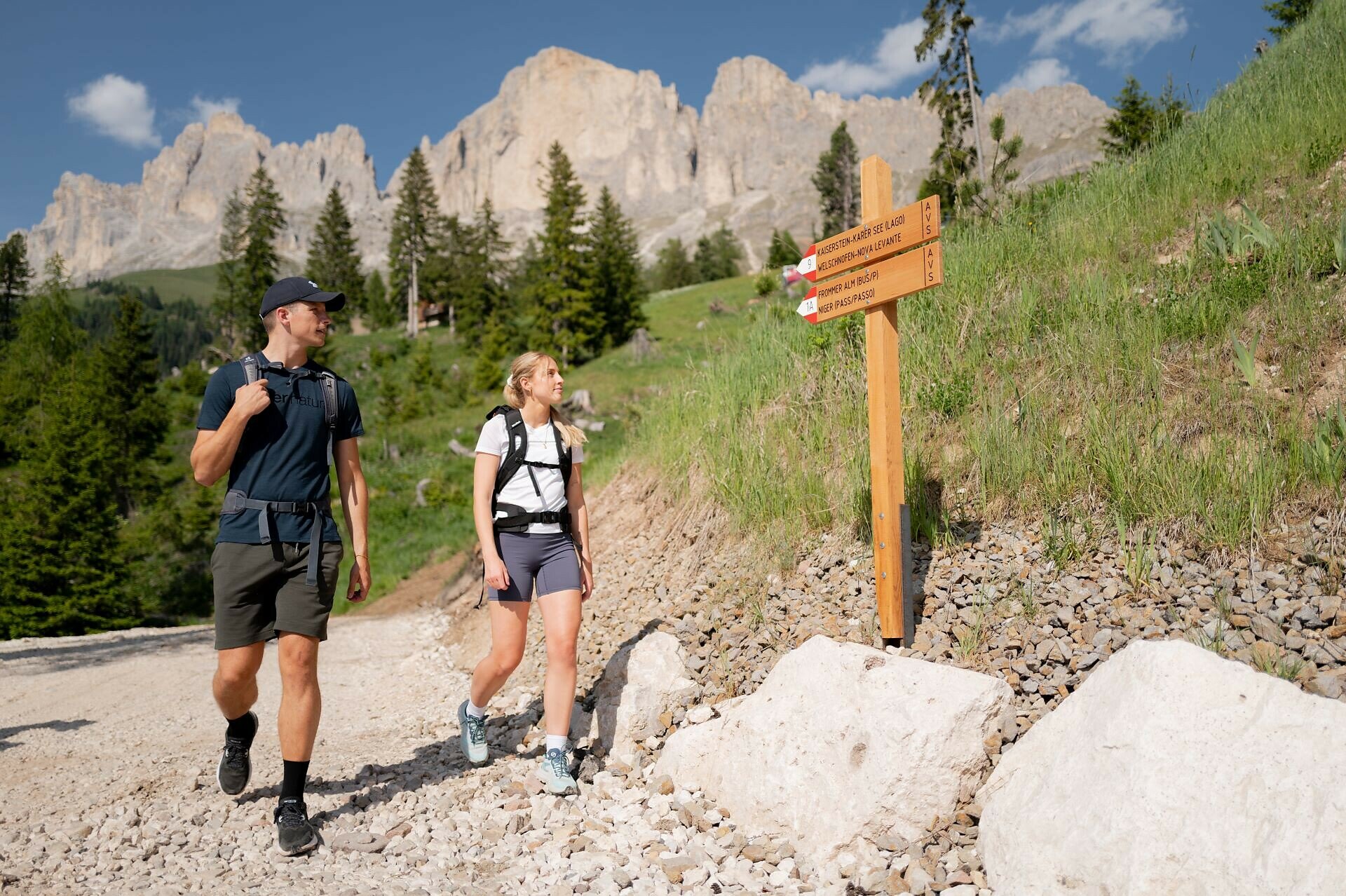
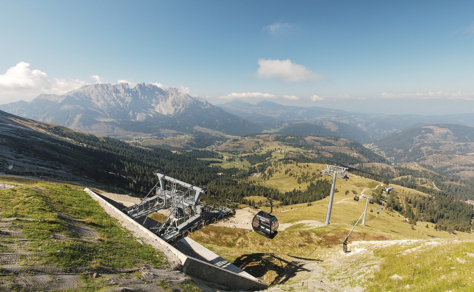
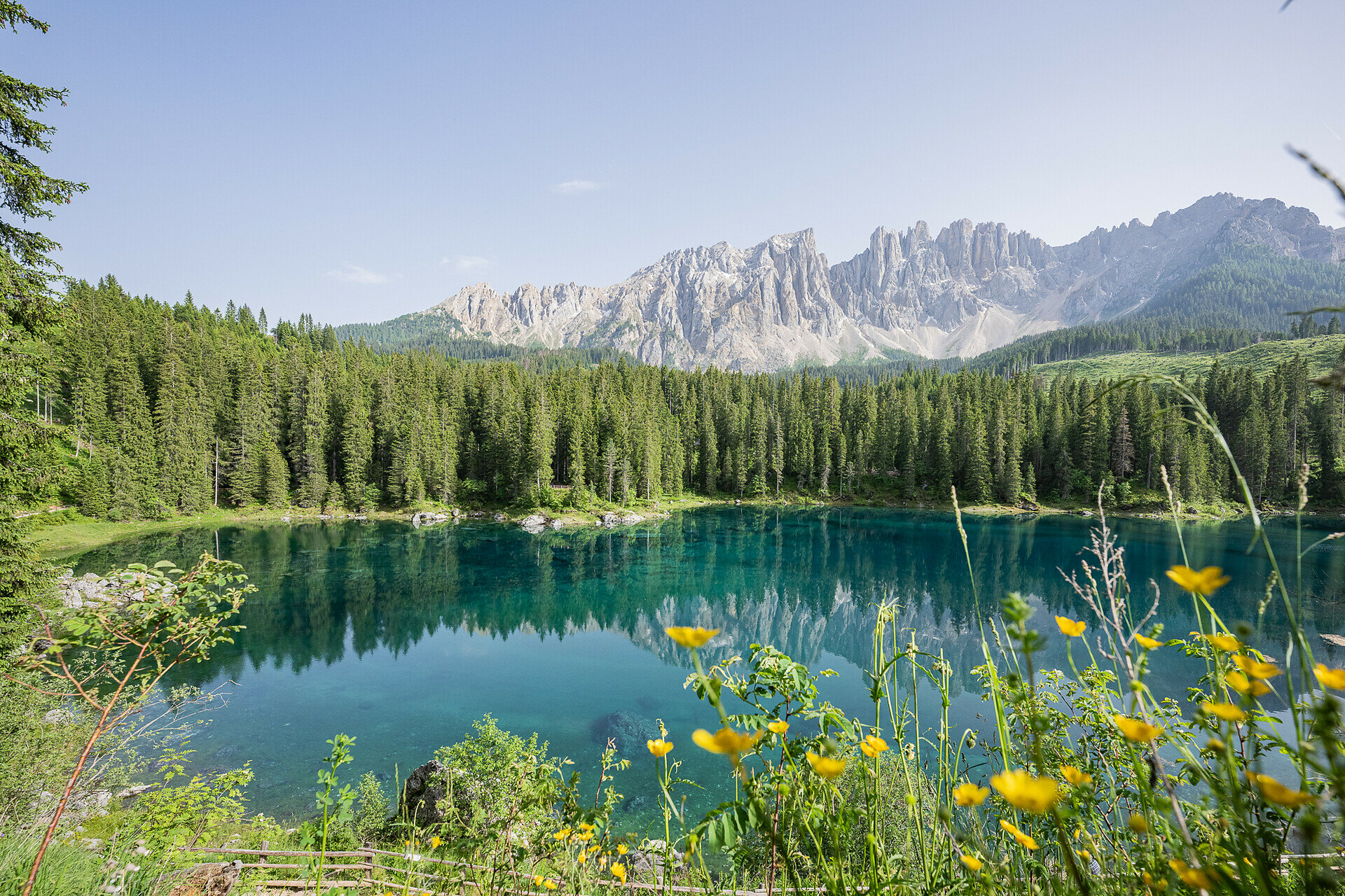
Scenic circular hike from Lake Carezza to Franzin Alm via Moseralm, featuring forests, stunning views, and a relaxing break.

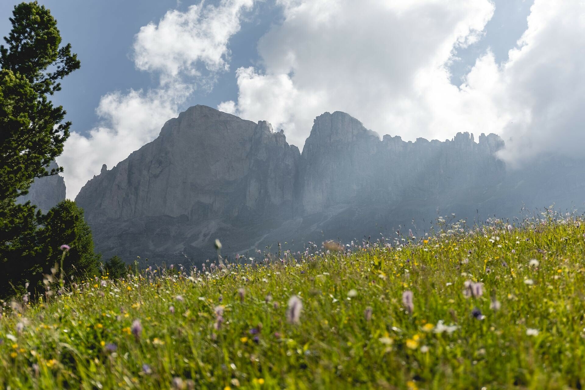
The circular hike from Lake Carezza to Franzin Alm combines breathtaking landscapes, historical sites, and local culinary delights. Passing through dense forests with stunning views of the Catinaccio, the trail leads to Franzin Alm. A special highlight is the Kaiserstein, a large rock named after Empress Elisabeth "Sissi," who once visited this place.

Gallery
Categories
  • Hiking trail
Tags
  • Family-friendly
Route info
Easy
Distance
7,2 km
Activity time
2 h 02 min
Ascent
242 m
Descent
252 m
Physical effort
Scenary
Highest point
1.772 m
Lowest point
1.541 m
Suggestions

Refreshment stops:

You might be interested in
Discover related tours
Welschnofen
Frin – Kaiserstein Tour
Distance 18,0 km
Activity time 3 h 30 min
Ascent 329 m
Descent 329 m
Status
open
Stadl Alm hut with view to Latemar | © Eggental – Val d’Ega
Intermediate
Add to favourites
Welschnofen
From Welschnofen | Nova Levante to the Stadl Alm farm and Lake Carezza
Distance 16,3 km
Activity time 4 h 51 min
Ascent 655 m
Descent 649 m
Status
open
Maria Weissenstein | © Storyteller Labs, Eggental – Val d’Ega
Intermediate
Add to favourites
Deutschnofen
Hike from Nova Ponente to the Maria Weißenstein Monastery
Distance 12,3 km
Activity time 3 h 50 min
Ascent 475 m
Descent 475 m
Status
open
View on Steinegg|Collepietra | © Sternendorf-Tschager Alfred, Eggental – Val d’Ega
Intermediate
Add to favourites
Karersee, Steinegg
Multi-day Hike – Alpine Pearls – 1. stage
Distance 16,9 km
Activity time 5 h 53 min
Ascent 1.402 m
Descent 658 m
Status
open
Prehistoric settlement of Enzbirch | © Eggental – Val d’Ega
Intermediate
Add to favourites
Deutschnofen
Kirchsteig to the Stone Age settlement of Enzbirch
Distance 13,0 km
Activity time 3 h 55 min
Ascent 424 m
Descent 424 m
Status
open
Deutschnofen
Hike from Weissenstein to Neuhütt to Auerleger
Distance 17,4 km
Activity time 5 h 15 min
Ascent 596 m
Descent 571 m
Status
open
Mountain Pass
1 Ticket – 17 lifts – 3 mountains

Holders of the Mountain Pass can use 17 lifts in the heart of the Rosengarten, Latemar and Schlern/Sciliar any three or five days within a period of seven consecutive days.

More informations