

• Home
  • Hike round the Rosengarten Massif

Hike round the Rosengarten Massif

Karersee, Welschnofen
Add to favourites
Difficulty
Difficult
Activity time
3:52
Duration in hours
Distance
11
Distance in km
Status
closed
Suggested period
Jan
Feb
Mar
Apr
May
Jun
Jul
Aug
Sep
Oct
Nov
Dec

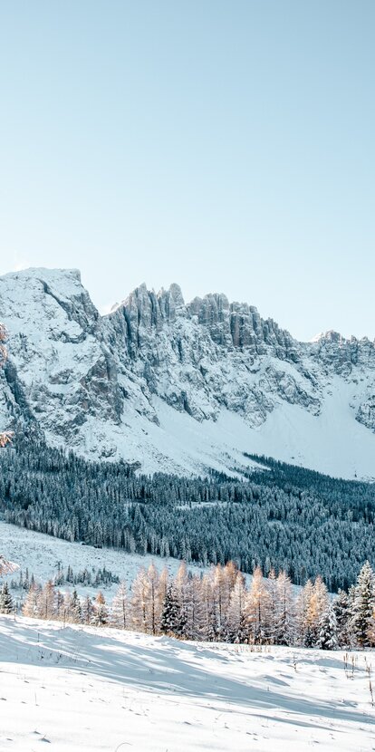
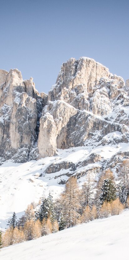
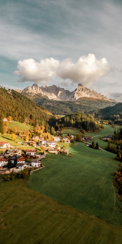
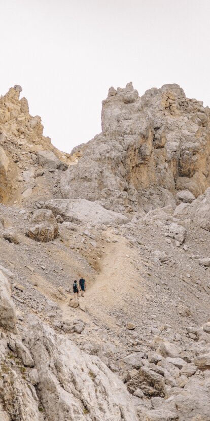
The Rosengarten circular route is a magnificent hike for experienced hikers, providing fantastic views of the surrounding mountains.

Route info
Difficult
Distance
11,0 km
Activity time
3 h 52 min
Ascent
902 m
Descent
902 m
Technical skills
Physical effort
Scenary
Highest point
2.631 m
Lowest point
2.125 m
Directions
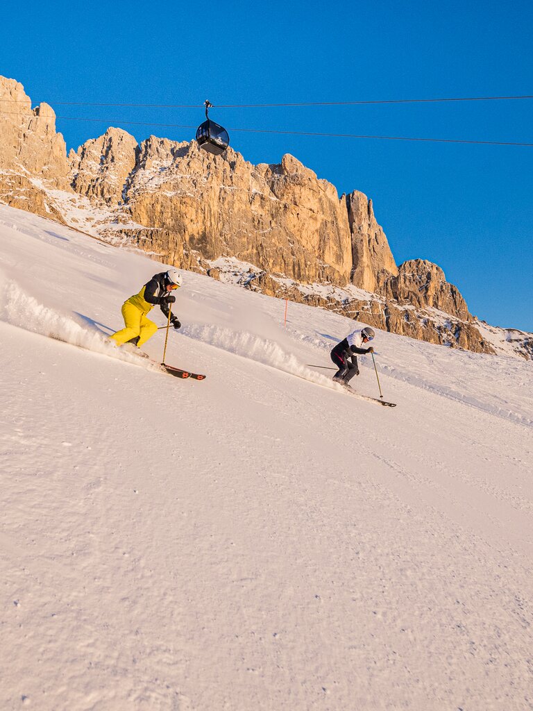
Directly from the centre of Nova Levante, the Laurin I cable car takes you to the Frommer hut (1743 m), from where you can comfortably take the cable car König Laurin I & II  to the Fronza alle Coronelle hut (2337 m). Once at the top, the Laurins Lounge invites you to enjoy a splendid panoramic view before continuing on steep meadows along the path [550] to Passo delle Coronelle (2630 m). Hikers march along the easy downhill slope before reaching the Passo delle Cigolade (2550 m) via the path [541]. In the middle of the bizarre rocky landscape, during the arduous ascent on the path [541] you can enjoy a breathtaking view of the Val di Fassa. Following path [541] you reach the Roda di Vaèl hut (2280 m) & Pederiva hut (2.275 m). Here begins the Masarè trail [549], a very popular and easy hiking trail that connects the Roda di Vaèl hut with the starting point, the Fronza alle Coronelle hut.

Alternative: Take the chair lift Paolina to the Paolina hut (2125 m), where the route starts. From here proceed along the signs [539] and [549] until you reach the Roda di Vaèl hut (2280 m) & Pederiva hut (2.275 m) Continue on path [541] past Passo delle Cigolade (2550 m) and then along path [541] and [550] to Passo delle Coronelle (2630 m). From Passo delle Coronelle go down to the Fronza alle Coronelle hut (2337 m) and the Laurins Lounge and then back on paths [549] and [552] to the Paolina hut.

Caution: (old) snow fields in places on the west side - danger of slipping and falling! Only for hikers with surefootedness and appropriate equipment.
public transportation

Getting to the starting point of the tour by public transport is easy and convenient.

By public bus line:
- 180 from Bozen | Bolzano, Birchabruck | Ponte Nova
- 180 or 184 from Karersee | Carezza, Karerpass | Passo Costalunga
- 184 from Weissenstein | Pietralba, Petersberg | Monte San Pietro, Deutschnofen | Nova Ponente, Stenk (or 181 and change 180)
- 184 from Obereggen, Eggen | Ega (or 184 and change 180)
- 187 from Steinegg | Collepietra, Gummer | San Valentino (or 182 and change 180) - 180 from Val di Fassa

Bus stop: Welschnofen | Nova Levante centre (Despar); online timetable search at www.suedtirolmobil.info/en/

How to get there

Getting to the starting point of the tour by public transport is easy and convenient.

By public bus line:
- 180 from Bozen | Bolzano, Birchabruck | Ponte Nova
- 180 or 184 from Karersee | Carezza, Karerpass | Passo Costalunga
- 184 from Weissenstein | Pietralba, Petersberg | Monte San Pietro, Deutschnofen | Nova Ponente, Stenk (or 181 and change 180)
- 184 from Obereggen, Eggen | Ega (or 184 and change 180)
- 187 from Steinegg | Collepietra, Gummer | San Valentino (or 182 and change 180) - 180 from Val di Fassa

Bus stop: Welschnofen | Nova Levante centre (Despar); online timetable search at www.suedtirolmobil.info/en/

By car:
Destination: Welschnofen | Nova Levante
Parking: Parking lot cable car

With the public bus line 180 or 184; bus stop: Centre of Nova Levante; online bus timetables: www.suedtirolmobil.info/en/

Where to park

Parking: parking lot cable car Welschnofen | Nova Levante Laurin I, https://g.page/Kabinenbahn?share

You might be interested in
Discover related tours
Welschnofen
Frin - Kaiserstein Tour
Distance 17,1 km
Activity time 3 h 30 min
Height difference 645 m
Deutschnofen
Family-hike on the new adventure trail "Kirchsteig" to the prehistoric settlement of Enzbirch
Distance 14,6 km
Activity time 4 h 25 min
Height difference 280 m
Deutschnofen
LATEMAR.360°
Distance 1,0 km
Activity time 30 min
Height difference 144 m
Hut path at Obereggen | © Obereggen AG, Eggental Tourismus Genossenschaft
Intermediate
Add to favourites
Deutschnofen
Hike to the Eggentaler Almen Alpine Pastures
Distance 10,9 km
Activity time 4 h 00 min
Height difference 487 m
Deutschnofen
Family-hike to the farms of Petersberg/Monte San Pietro
Distance 4,1 km
Activity time 1 h 10 min
Height difference 89 m
Nova Ponente | © Eggental Tourismus - Othmar Seehauser, Eggental Tourismus Genossenschaft
Intermediate
Add to favourites
Deutschnofen
Excursion to the Stone Age settlement of Enzbirch
Distance 12,5 km
Activity time 3 h 30 min
Height difference 116 m
Event-Highlight
Culturinarika Eggental
Summer 2023

When the stars above Steinegg dance to the sounds of the well-known South Tyrolean band, Mainfelt, 6 gourmet chefs prepare creative delights in old wood-fired ovens in Welschnofen and works of art by local artists come to life at an art performance in Obereggen or Deutschnofen, you know that it’s Eggen Valley’s Culturinarika time!

Get your ticket!