Dolomites UNESCO Geotrail
A giant mountain film show
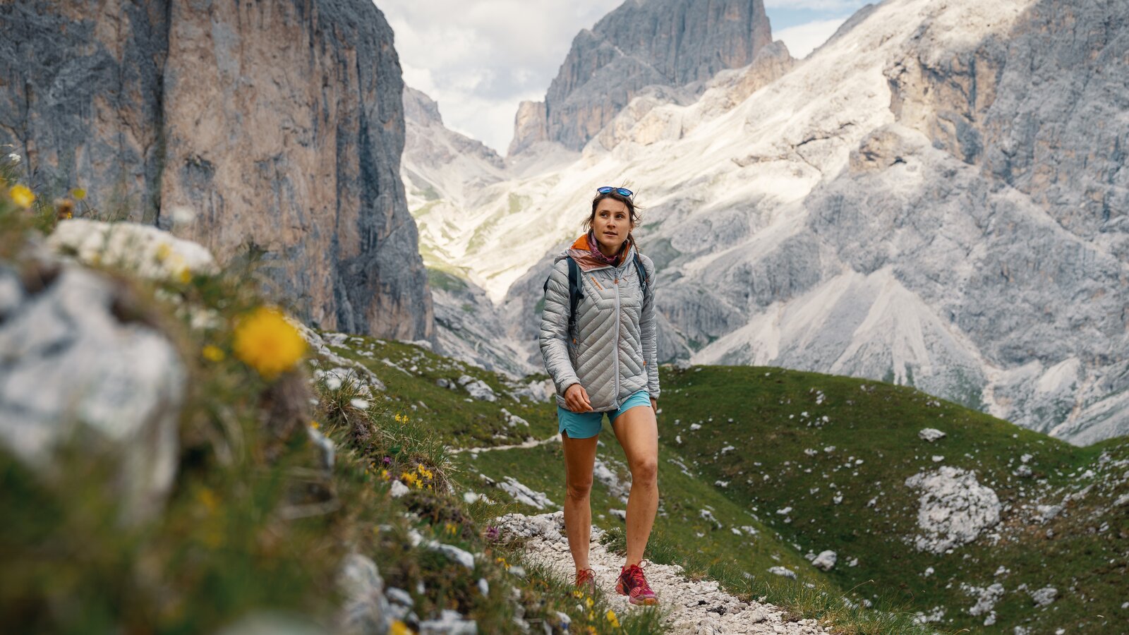
Completing the entire 176 kilometres of the Dolomites UNESCO Geotrail across South Tyrol will (unless you are a mountain marathon runner) require plenty of time. But just 20 kilometres are enough to show you why the Dolomites are among the most stunning mountains on our planet. The third stage of this Alpine long-distance trail in particular illustrates the beauty of these mountains – and is also unquestionably a highly worthwhile day trip! Today’s adventure is no mere stroll - but that’s not what I’m here for!
The rhythm of the Dolomites
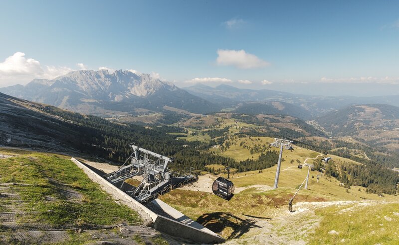
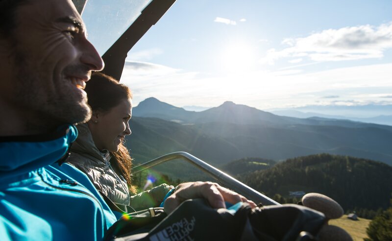
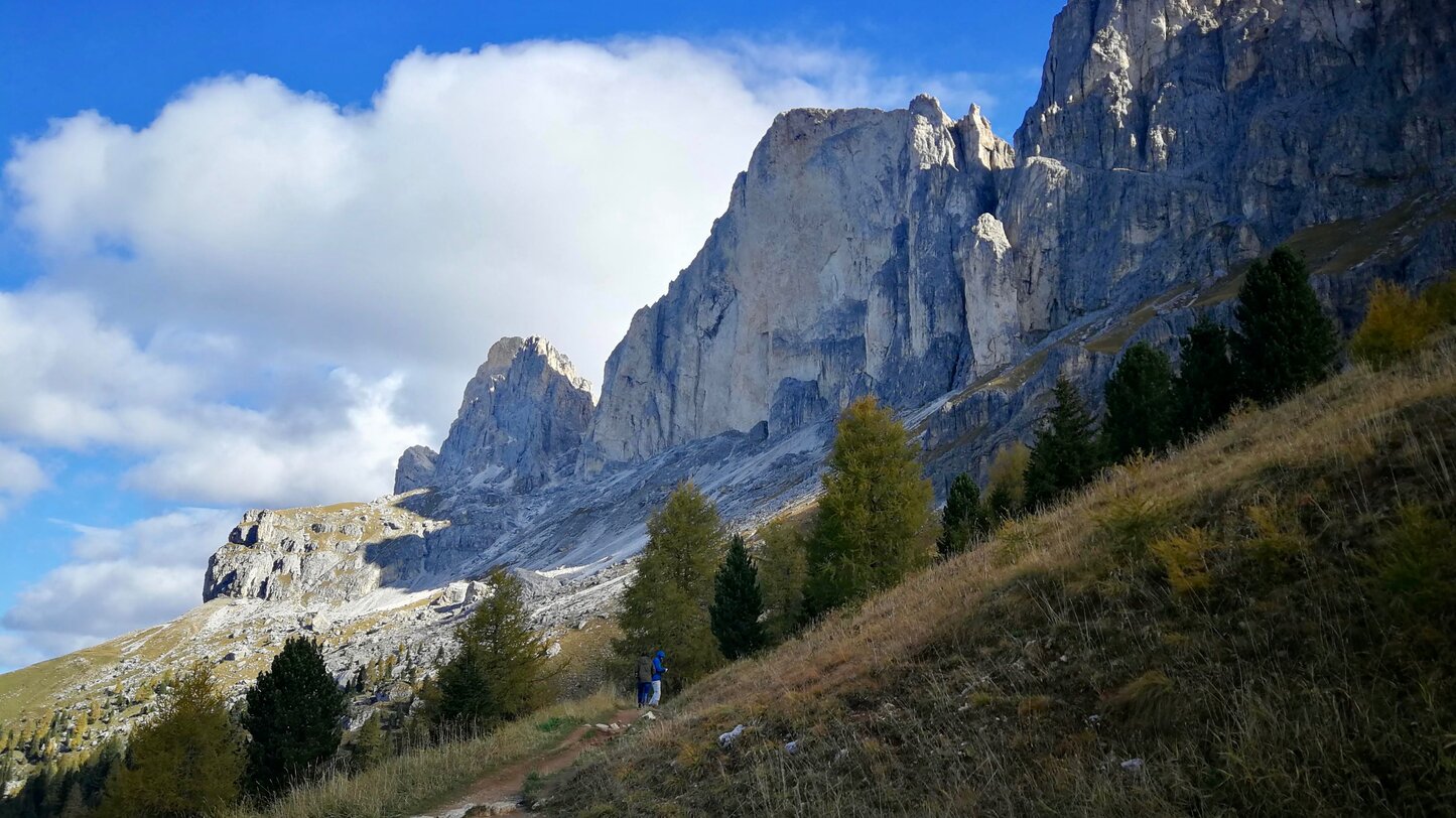
Such a hike is ideally done in the off-season – with an Indian summer in my view offering the best weather conditions for a long day spent among the photogenic crags of the Catinaccio massif, the Vajolet Towers and the Antermoia Ridge above the Gardeccia Valley. Setting off in the early morning beneath the gaze of the mountains means not just a good start, but also more power! So my day’s hiking begins with a stiff climb up to the Paolina Hut. Those wishing to take this first ascent in more leisurely style can use the Paolina chairlift – the Carezza lifts run until the middle/end of October. The gnarled roots on trails 548 and 522 are like a staircase and transform the way up into a slow approach to the panoramic views over the valley and hillside. My impressions harmonise with my heartbeat, a rhythm that will accompany me for the next few hours. Long-distance hiking creates its own rhythm, and that of the Dolomites is particularly special for me.
Take nothing lightly
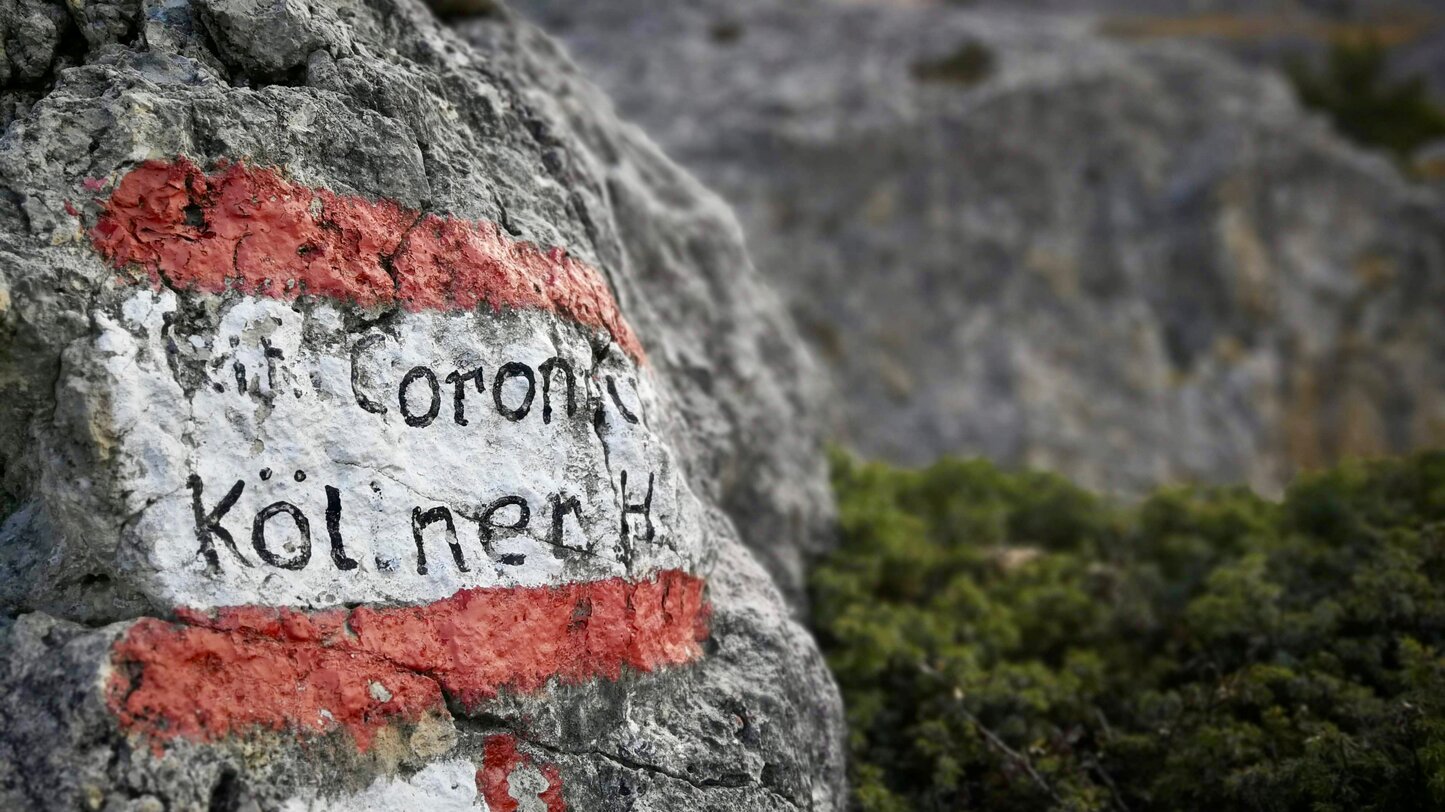
You should however not undertake this stage of the Dolomites UNESCO Geotrail without proper planning, not even with the “melody” of your emotions. Despite the well-maintained paths and numerous mountain huts, this trek requires surefootedness, stamina and an experience of Alpine terrain. The climb from the Fronza Hut to the Coronelle Pass is the “crux”. This is where path 550 leads over into the Gardeccia Valley in the province of Trentino. While the section is neither long nor exposed, you have to use your hands and, while a helmet is not a must, nor will it do any harm! I personally find that a climbing harness is excessive: more important is non-slip footwear, although there is not much by way of bog or scree. Even stable trail-running shoes will in my opinion be adequate for the variety of paths to be expected.
The mountains tell more than a thousand words
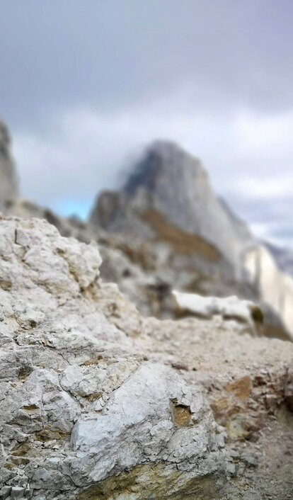
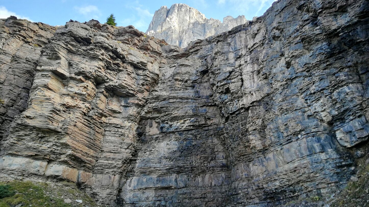
The day runs like the screenplay for a giant mountain film show. The beauty of the landscape images on this tour combine to produce inspiration, reflection and complete relaxation in me, while the view from up here is unique: I can see nothing but rock formations, the quiet valley below, the spectacular sky, mountains and more mountains. The clouds that build up over the course of the day do exactly what they are supposed to do: provide the best lighting design for the photographic eye – while there is no trace of rain. It is a pity that I only have my Smartphone camera with me, because these views deserve to be photographed through a better lens. I can nevertheless still feel that Dolomite beat in me!
In the valley below the Principe and Molignon passes the next section of the Geotrail separates from the path I have taken for my day out on stage III. I decide to descend via the Bergamo Hut and the wild Ciamin Valley, heading for the Tires road. My path leads directly to the bus stop for the Nigra Pass. The regular service runs hourly from here and brings me back to the Costalunga Pass in just 20 minutes. I am exhausted, but not totally shattered – I am in fact truly happy and satisfied to have experienced the fascination of the Dolomites on my own two feet: pure emotion!

