Top

Hike to the Eggentaler Almen Alpine Pastures

Deutschnofen
Add to favourites
Difficulty
Intermediate
Activity time
3:25
Duration in hours
Distance
10.9
Distance in km
WSEN
Suggested period
Jan
Feb
Mar
Apr
May
Jun
Jul
Aug
Sep
Oct
Nov
Dec
Leisurely hike from Obereggen to the Epircher Laner, Mayrl, Ganischger & Zischg alpine huts – perfect for families, foodies and nature enthusiasts.

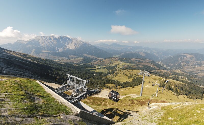
This relaxing hike is sure to make the heart of every hiker beat a little faster. Fantastic views of the Latemar, Weißhorn and Schwarzhorn mountains and great places to stop for delicious refreshments make this hike an unforgettable experience.

Route info
Intermediate
Distance
10,9 km
Activity time
3 h 25 min
Ascent
454 m
Descent
455 m
Physical effort
Scenary
Highest point
2.014 m
Lowest point
1.560 m
Directions

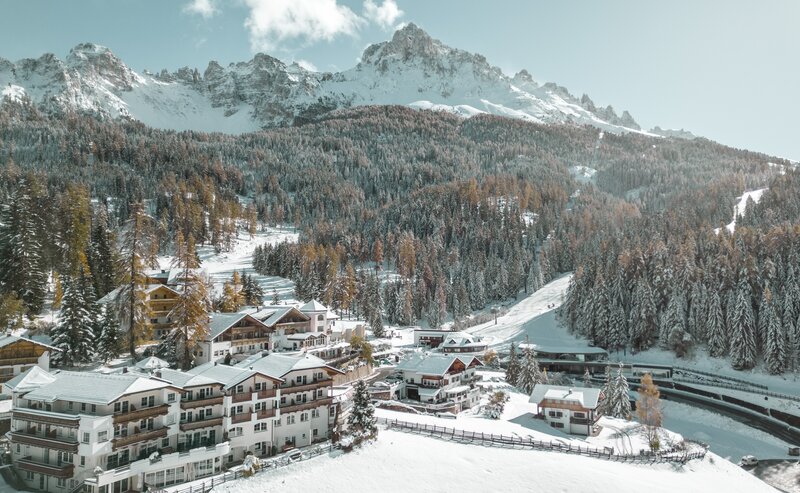
The hike begins at the upper car park in Obereggen at about 1,550 m.
Follow the signposted Alpine Trail [9], which gently climbs through forest and meadows and reaches the Epircher Laner Alm (1,620 m) in around 40 minutes.

Continue on trail [9] for about 30 more minutes to the Mayrl Alm (1,670 m), beautifully located below the Reiterjoch pass.

Ambitious hikers can continue up to the Reiterjoch (1,996 m), from where you can visit the Ganischger Alm (1,950 m) and Zischg Alm (1,970 m) – both offering sweeping views of the Latemar and surrounding valleys.

The return route follows the same trail back to Obereggen.

public transportation
Getting to the starting point of the tour by public transport is easy and convenient.

By public bus line:
- 181 and change 184 from Bozen | Bolzano
- 180 and change 184 from Karersee | Carezza, Karerpass | Passo Costalunga, Welschnofen | Nova Levante
- 184 from Weissenstein | Pietralba, Petersberg | Monte San Pietro, Deutschnofen | Nova Ponente
- 184 Birchabruck | Ponte Nova
- 182 and change 184 from Steinegg | Collepietra, Gummer | San Valentino

Bus stop: Obereggen; online bus timetables: www.suedtirolmobil.info/en/
How to get there

Getting to the starting point of the tour by public transport is easy and convenient.

By public bus line:
- 181 and change 184 from Bozen | Bolzano
- 180 and change 184 from Karersee | Carezza, Karerpass | Passo Costalunga, Welschnofen | Nova Levante
- 184 from Weissenstein | Pietralba, Petersberg | Monte San Pietro, Deutschnofen | Nova Ponente
- 184 Birchabruck | Ponte Nova
- 182 and change 184 from Steinegg | Collepietra, Gummer | San Valentino

Bus stop: Obereggen; online bus timetables: www.suedtirolmobil.info/en/

By car:
Destination: Obereggen
Parking: Parking lot Obereggen
Where to park
Parking: Parking lot Obereggen
You might be interested in
Discover related tours
Deutschnofen
LATEMAR.RELAX: Family-hike on the snail-trail
Distance 5,6 km
Activity time 2 h 00 min
Ascent 329 m
Descent 329 m
Lupicino/Wölflhof | © Eggental Tourismus, Eggental – Val d’Ega
Intermediate
Add to favourites
Deutschnofen
Hike to the Wölflhof
Distance 9,0 km
Activity time 2 h 30 min
Ascent 210 m
Descent 210 m
Welschnofen
Circular lake hike to Lake Carezza and Lake Mittersee
Distance 5,7 km
Activity time 1 h 35 min
Ascent 127 m
Descent 122 m
Hike through the forest | © Sternendorf - Alfred Tschager, Eggental – Val d’Ega
Intermediate
Add to favourites
Steinegg
Steinegg Ridgeway
Distance 13,1 km
Activity time 5 h 00 min
Ascent 292 m
Descent 293 m
Deutschnofen
Family-hike from Eggen/Ega to the "Egg" farms
Distance 4,0 km
Activity time 1 h 25 min
Ascent 183 m
Descent 183 m
View on Castle of Karneid|Cornedo and Bozen|Bolzano | © Sternendorf - FotoArmin, Eggental – Val d’Ega
Intermediate
Add to favourites
Steinegg
On the Rittersteig trail from Steinegg|Collepietra to Kardaun|Cardano
Distance 7,8 km
Activity time 2 h 45 min
Ascent 244 m
Descent 781 m
Mountain Pass
1 Ticket - 17 lifts - 3 mountains

Holders of the Mountain Pass can use 17 lifts in the heart of the RosengartenLatemar and Schlern/Sciliar any three or five days within a period of seven consecutive days.

More informations