Top

Family hike to the observatory in Gummer|San Valentino

Steinegg
Add to favourites
Difficulty
Easy
Activity time
0:38
Duration in hours
Distance
2.4
Distance in km
Status
open
Categories
  • Hiking trail
Tags
  • Linear route
  • Suitable for strollers
  • Accessibility
  • Family-friendly
Suggested period
Jan
Feb
Mar
Apr
May
Jun
Jul
Aug
Sep
Oct
Nov
Dec
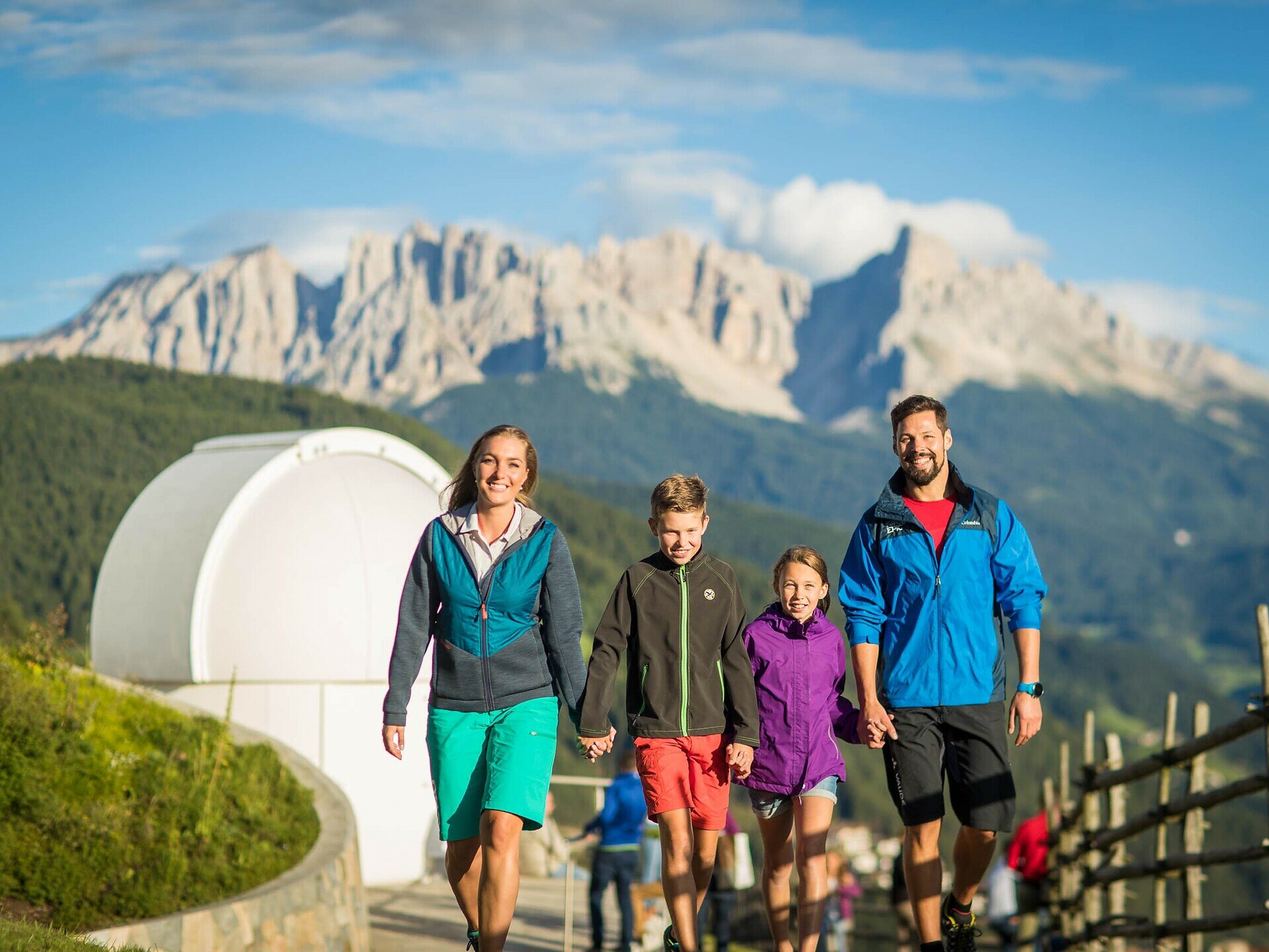
Short, family-friendly hike to the observatory in Obergummer – with views of the sky and the surrounding mountains.
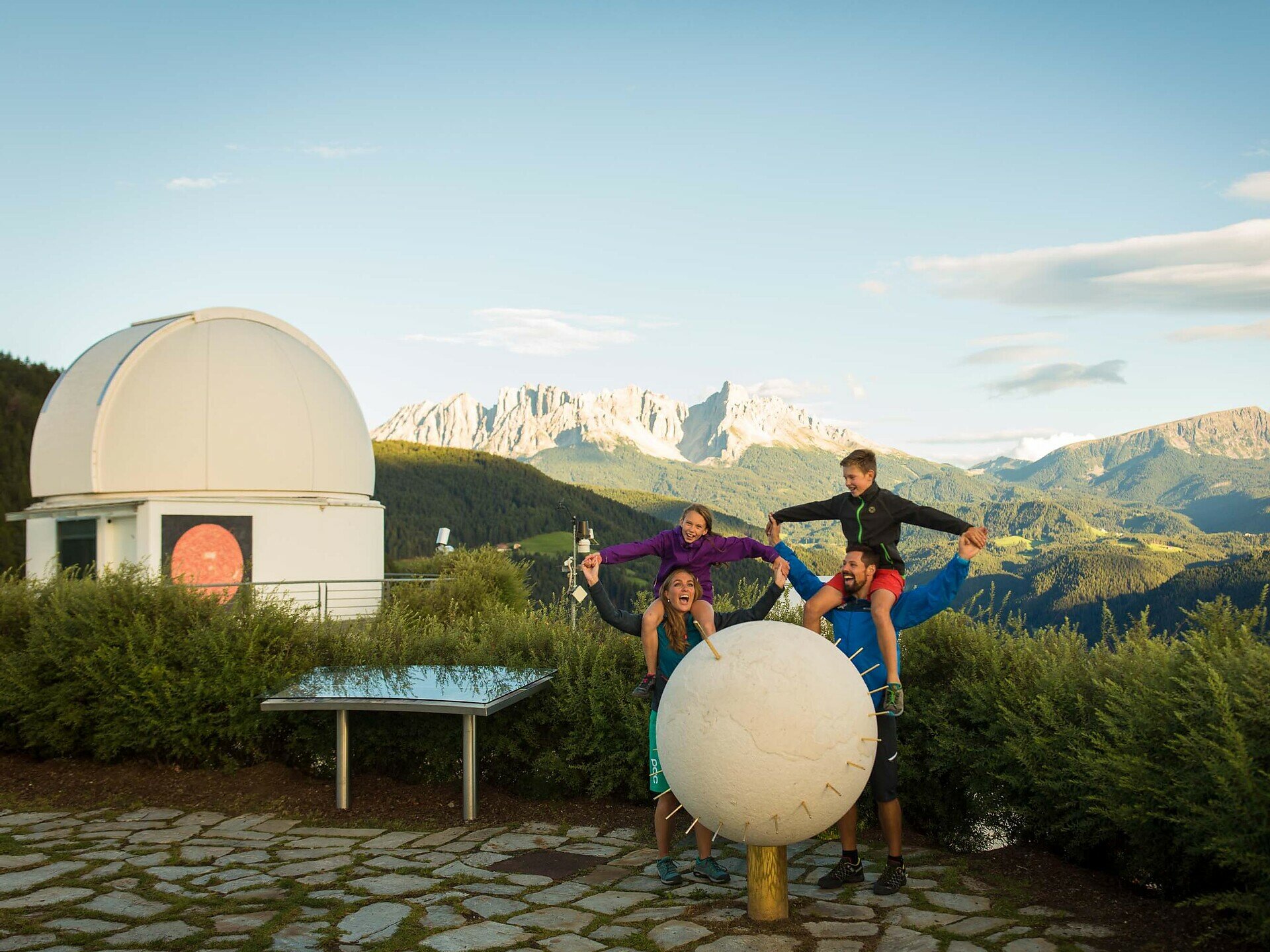
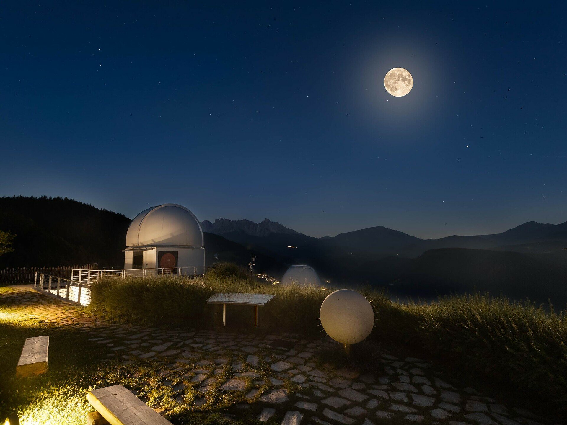
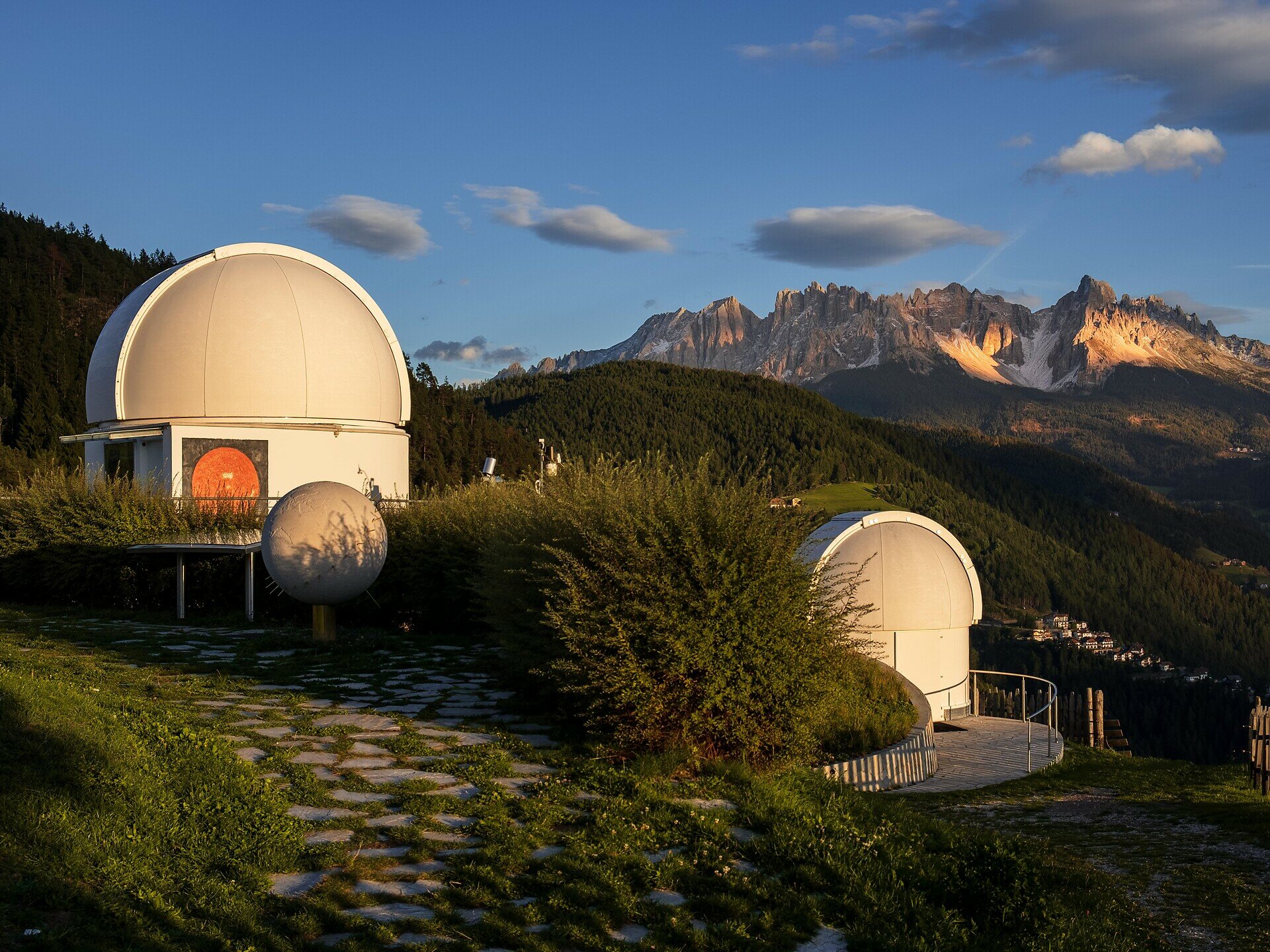
Embark on a family-friendly hike to South Tyrol’s only observatory in Obergummer.Starting from the Schenken parking lot at the Lantschnay bus stop, a quiet, stroller-accessible asphalt road leads you directly to the „Max Valier“ observatory and the „Peter Anich“ solar observatory.Part of the trail follows the Planet Path, where you can explore our solar system at a scale of 1:1 billion.At the destination, not only are stellar views and views of the surrounding mountains awaiting you, but also the Unteregger inn with a playground and petting zoo – perfect for a relaxing break after a short yet celestial hike.
Gallery
Categories
  • Hiking trail
Tags
  • Linear route
  • Suitable for strollers
  • Accessibility
  • Family-friendly
Route info
Easy
Distance
2,4 km
Activity time
38 min
Ascent
34 m
Descent
28 m
Physical effort
Scenary
Highest point
1.318 m
Lowest point
1.291 m
You might be interested in
Discover related tours
Earth pyramids Steinegg|Collepietra | © Sternendorf - Tschager Alfred, Eggental – Val d’Ega
Intermediate
Add to favourites
Steinegg
Pyramid path in Steinegg|Collepietra
Distance 5,9 km
Activity time 1 h 52 min
Ascent 355 m
Descent 355 m
Status
open
Welschnofen
Mountain cinema – Waltherplatz | Piazza Walther
Distance 2,0 km
Activity time 1 h 02 min
Ascent 314 m
Descent 1 m
Status
open
Laner Hut | © Eggental – Val d’Ega
Intermediate
Add to favourites
Deutschnofen
Hike from Köser Valley to Laneralm to Schmieder to Schönrast
Distance 8,1 km
Activity time 2 h 30 min
Ascent 283 m
Descent 283 m
Status
open
View of Steinegg / Collepietra | © Eggental – Val d’Ega
Intermediate
Add to favourites
Steinegg
Circular hike from Steinegg|Collepietra to the Wiedenhof inn
Distance 9,8 km
Activity time 3 h 30 min
Ascent 490 m
Descent 491 m
Status
open
Deutschnofen
Hike from Weissenstein to Neuhütt to Auerleger
Distance 17,4 km
Activity time 5 h 15 min
Ascent 596 m
Descent 571 m
Status
open
Funicular Kohler/Colle | © Eggental – Val d’Ega
Intermediate
Add to favourites
Deutschnofen
Hike to Kohlern | Colle di Bolzano and Bozen | Bolzano
Distance 11,0 km
Activity time 3 h 25 min
Ascent 342 m
Descent 593 m
Status
open
Mountain Pass
1 Ticket – 17 lifts – 3 mountains

Holders of the Mountain Pass can use 17 lifts in the heart of the RosengartenLatemar and Schlern/Sciliar any three or five days within a period of seven consecutive days.

More informations