


Top
Hike & Bike |From Obereggen to Lake Carezza and via the Templweg trail back to Obereggen
Deutschnofen, Welschnofen
Add to favouritesDifficulty
IntermediateActivity time
4:25
Duration in hours
Distance
20.3
Distance in km
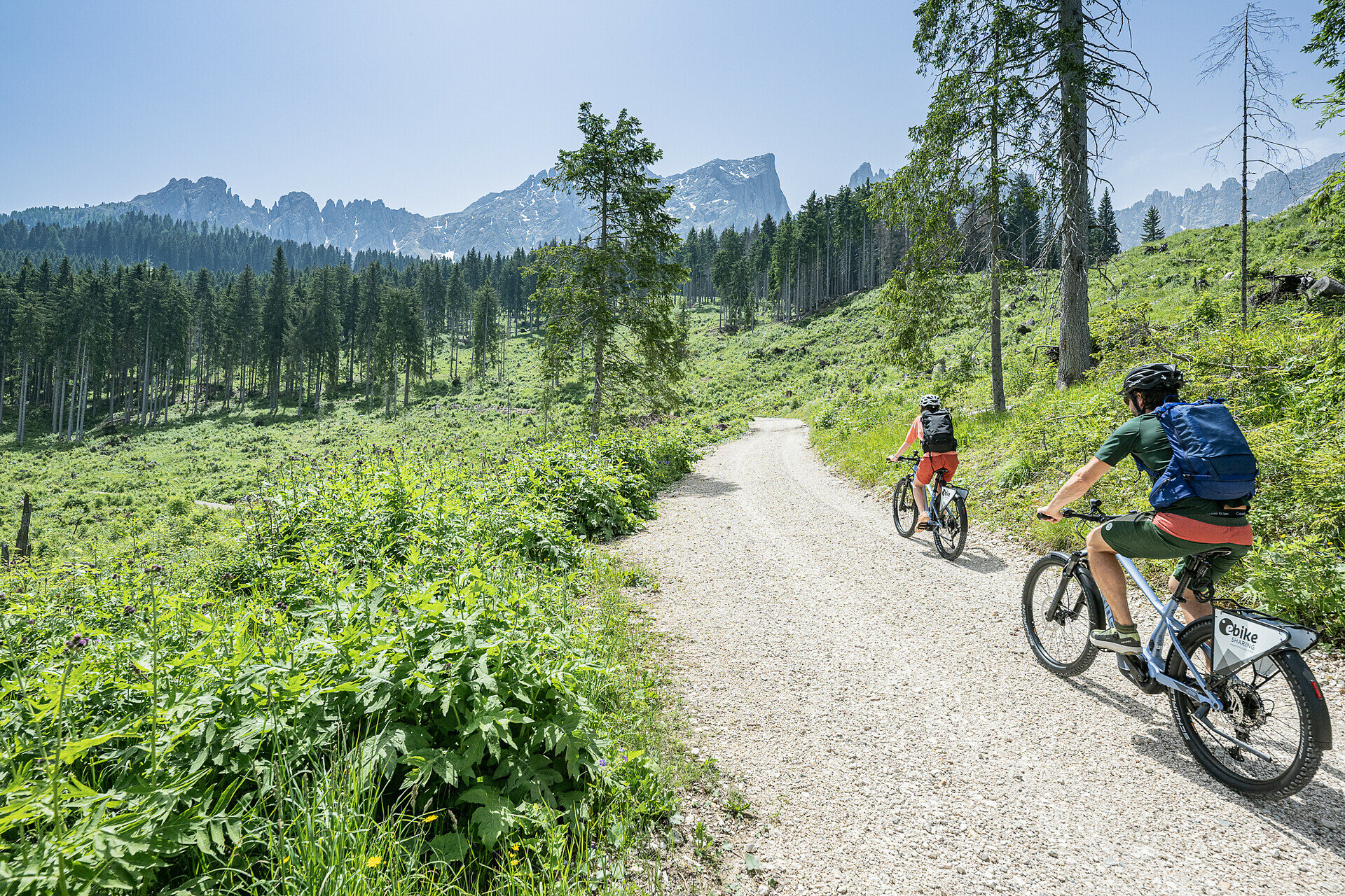
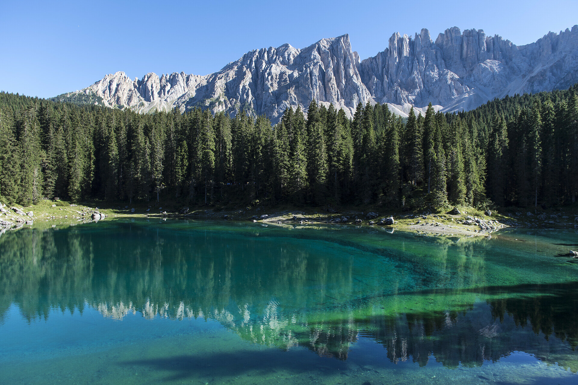
Enjoy a varied hike & bike tour with panoramic views at Karer Lake—perfect for active nature and mountain lovers.
This varied hike & bike tour begins in charming Obereggen, taking you on foot along scenic trails to the picturesque Karer Lake, where you can enjoy stunning mountain views. Afterwards, hop on your e-bike and cycle comfortably back to Obereggen via the Templ trail. The tour offers breathtaking panoramas, diverse nature, and is perfect for those seeking both activity and relaxation in the Dolomites.
You might be interested in
Discover related tours


