Top

Adventure hiking trail "Kirchsteig"

Deutschnofen
Add to favourites
Difficulty
Intermediate
Activity time
2:50
Duration in hours
Distance
9.5
Distance in km
Suggested period
Jan
Feb
Mar
Apr
May
Jun
Jul
Aug
Sep
Oct
Nov
Dec
The “Kirchsteig” trail in Deutschnofen has interactive stations on flora, fauna, and history. Perfect for families and nature lovers.

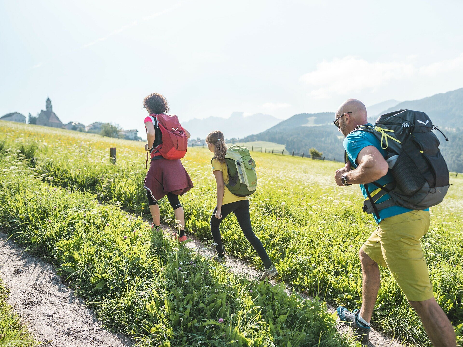
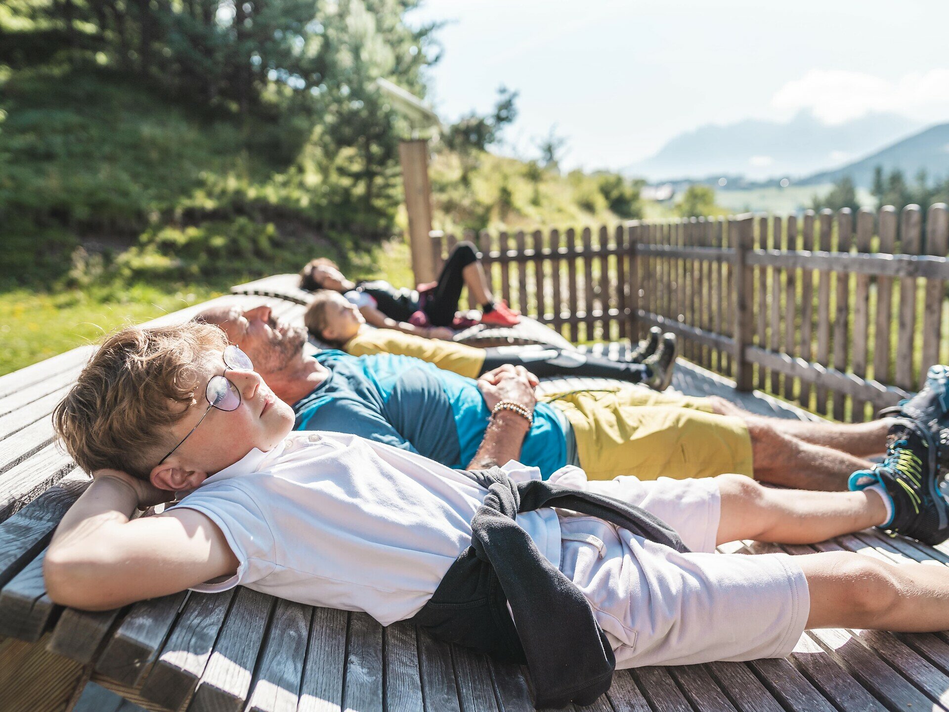
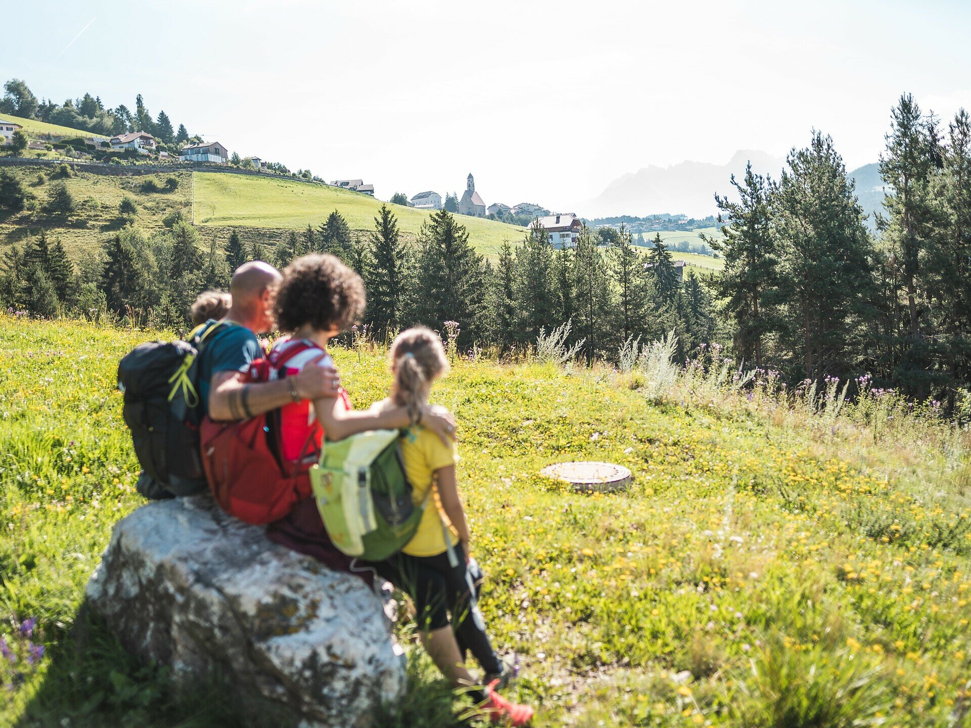
Learn about flora, fauna, agriculture, and forestry in a playful way on the new “Kirchsteig” adventure trail in Deutschnofen. Locals and visitors, young and old, will enjoy exciting stations like a listening island, a telescope, a wildlife memory game, and a mill wheel. The diverse trail presents site-specific topics in a modern way. Interactive games and puzzles engage children and adults alike. Sensory stations encourage conscious listening, understanding, touching, and smelling, ensuring lasting impressions. The “Kirchsteig” offers different perspectives on the community of Deutschnofen. Numerous information boards highlight the rich flora, fauna, and geological features of the region, making this trail a special experience for all ages.

Not suitable for bicycles and strollers!


Route info
Intermediate
Distance
9,5 km
Activity time
2 h 50 min
Ascent
381 m
Descent
381 m
Physical effort
Scenary
Highest point
1.429 m
Lowest point
1.219 m
Safety guidelines
Not suitable for bicycles and baby carriages!
Directions

The circular hike starts directly at the village square of Deutschnofen. From there, head to Gibitzplatz (1357 m) and turn left onto the paved road toward the Wölflhof farm. After about 200 meters, leave the road and take the left turn onto the Kirchsteig K trail. This path leads you across meadows and picturesque farms.

Next, follow trail [10] to the Höggerhof, which you reach after about one hour. Continue on the Kirchsteig K, now following trail [11B], to the Wölflhof farm. From there, trail [E5] leads back to Deutschnofen village center.

The entire hike takes about 4 hours and offers a varied mix of nature, agriculture, and culture.

public transportation

Getting to the starting point of the tour by public transport is easy and convenient.

By public bus line:
- 181 from Bozen | Bolzano, Birchabruck | Ponte Nova
- 180 and change 181 from Karersee | Carezza, Karerpass | Passo Costalunga, Welschnofen | Nova Levante
- 181 from Weissenstein | Pietralba, Petersberg | Monte San Pietro
- 184 from Obereggen, Eggen | Ega
- 182 and change 181 from Steinegg | Collepietra, Gummer | San Valentino
Bus stop: church Nova Ponente/Deutschnofen; online bus timetables: www.suedtirolmobil.info/en/
Meeting point: https://goo.gl/maps/WpS3M2Ge6rkVCydGA

How to get there
Getting to the starting point of the tour by public transport is easy and convenient.

By public bus line:
- 181 from Bozen | Bolzano, Birchabruck | Ponte Nova
- 180 and change 181 from Karersee | Carezza, Karerpass | Passo Costalunga, Welschnofen | Nova Levante
- 181 from Weissenstein | Pietralba, Petersberg | Monte San Pietro
- 184 from Obereggen, Eggen | Ega
- 182 and change 181 from Steinegg | Collepietra, Gummer | San Valentino
Bus stop: church Nova Ponente/Deutschnofen; online bus timetables: www.suedtirolmobil.info/en/
Meeting point: https://goo.gl/maps/WpS3M2Ge6rkVCydGA

By car: 
Destination: Gibitzplatz/piazza Gibitz
Parking: parking lot Gibitz
Meeting point: https://goo.gl/maps/WpS3M2Ge6rkVCydGA
Where to park

Parking: parking lot Gibitz
Meeting point: https://goo.gl/maps/WpS3M2Ge6rkVCydGA

You might be interested in
Discover related tours
Deutschnofen
Family-hike from Weissenstein/Pietralba to the Petersberger Leger Hut
Distance 4,6 km
Activity time 1 h 21 min
Ascent 159 m
Descent 159 m
Intermediate
Add to favourites
Deutschnofen
Excursion to the Stone Age settlement of Enzbirch
Distance 12,9 km
Activity time 4 h 00 min
Ascent 414 m
Descent 414 m
Welschnofen
Family hike from Carezza to the monument Sissi
Distance 10,8 km
Activity time 2 h 58 min
Ascent 159 m
Descent 159 m
Deutschnofen, Welschnofen
Hike & Bike: Deutschnofen | Nova Ponente - Obereggen - Lake Carezza
Distance 22,5 km
Activity time 2 h 15 min
Ascent 596 m
Descent 367 m
Deutschnofen
Hike to the Häusler Sam
Distance 3,9 km
Activity time 1 h 00 min
Ascent 147 m
Descent 147 m
Intermediate
Add to favourites
Welschnofen, Karersee
Between Catinaccio/Rosengarten and Latemar
Distance 15,7 km
Activity time 4 h 33 min
Ascent 517 m
Descent 517 m
© Carezza Dolomites/Harald Wisthaler
Information & prices
Ski passes
Winter 2024/25

Here you will find all important information on skipasses, daily, multi-day, and seasonal tickets at a glance. All ski passes can be purchased quickly and conveniently online. Buy your skipass directly from home and get a 5% discount!

To the ski passes & tickets