




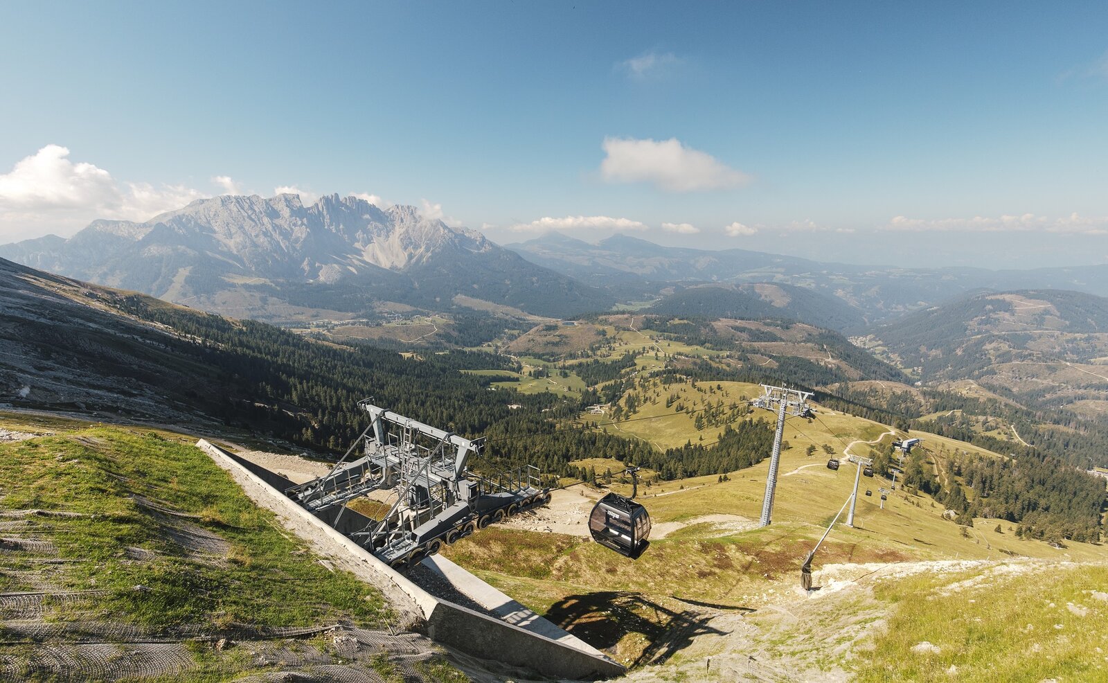
The Latemar Via Ferrata – also known as Attrezzata Campanili del Latemar – is a scenic, long tour in the westernmost group of the Dolomites. It leads past brittle, bizarrely shaped rock formations between the imposing Latemar towers. The varied route passes through the impressive rocky landscape of the Latemar, offering spectacular views of the surrounding mountains.
Since the flanks are not exceptionally steep, the steel cable protections are limited to a few, yet highly interesting key sections. The via ferrata features a combination of natural ledges and climbing passages. Whenever the rock opens up towards the north, you get fantastic views of the Rosengarten (Catinaccio) group. The change of rock types in the notches is also geologically fascinating; you often ascend from a clay-like flat section directly onto the following steep rocky step. About halfway along the route, a trail allows you to summmit the Großer Latemarturm (Torre Diamantidi, 2,842 m), which is highly rewarding. From the end of the via ferrata, at the notch where the bivouac box (Bivacco Rigatti) is located, you can hike up to the Latemarspitze in about 30 minutes.
For long stretches, the tour leads through very rough, brittle terrain with steep scree and loose rocks. Surefootedness is therefore absolutely essential, even in unsecured alpine terrain.

Route Description:
The tour starts in Obereggen at the mountain station of the Oberholz chairlift (2,096 m). After riding up the lift, follow trail [18] to the Gamsstallerscharte | forcella dei gamosci (2,590 m) and continue on trail [516] to the Erzlahnscharte |Forcella Forcellone. From there, proceed to the starting point of the via ferrata at the Rotlahnscharte | Forcella del Campanile.
Via Ferrata:
From the start (A/B), move onto a comfortable ledge (A) and walk across easy terrain to an earthy gully with a prominent boulder (A/B) – a fascinating geological change of rock types in the notch. From this gap, climb up stepped terrain (B) to another ledge (A). Walking further (one section A), you reach a gully equipped with an iron stemple and continue to a notch (A). Walking once again, pass through a narrow gap behind a boulder (two sections A) to the next gully (A to A/B). After a short walking section, descend (A) to the crux inside a gorge. Using iron stemples, down-climb a slightly overhanging wall (C) to the bottom of the gorge. On the other side, head up in a zigzag pattern (B) onto a small ridge (A), then descend to the end of the steel cables to reach the bivouac box.
Return:
From here, return on trail [18] to the Rothlahnscharte | Forcella del Campanile, then take trail [516] into the Valsorda valley, where the route changes to [516A]. Continue further on trail [516] to the Latemarhütte mountain hut | Rifugio Torre di Pisa.
The descent continues along trail [516] until just before the Passo Feudo. Here, turn onto trail [22] towards the Mayrlalm hut and head back to the Oberholz chairlift.
Difficulty & Safety:
By public bus line:
- 180 from Bozen | Bolzano
- 180 or 184 from Karersee | Lago di Carezza, Karerpass | Passo Costalunga, Welschnofen | Nova Levante
- 184 from Birchabruck | Ponte Nova, Stenk, Eggen | Ega
- 184 from Weissenstein | Pietralba, Petersberg |Monte San Pietro, Deutschnofen | Nova Ponente - 182 from Steinegg | Collepietra, Gummer | San Valentino
- 180 from Val di Fassa
Bus stop:Obereggen + cable car Oberholz; online timetable search at www.suedtirolmobil.info/en/
Location: https://goo.gl/maps/CU4s6KV4buX7Dr9j9
By car:
Destination: Obereggen
Parking: Parking lot Obereggen
Location: https://goo.gl/maps/CU4s6KV4buX7Dr9j9

Here you will find all important information on skipasses, daily, multi-day, and seasonal tickets at a glance. All ski passes can be purchased quickly and conveniently online. Buy your skipass directly from home and get a 5% discount!