Top

Hike to the Rotwand-Rotstein

Deutschnofen
Add to favourites
Difficulty
Intermediate
Activity time
2:30
Duration in hours
Distance
8
Distance in km
Status
open
Categories
  • Hiking trail
Tags
  • Linear route
Suggested period
Jan
Feb
Mar
Apr
May
Jun
Jul
Aug
Sep
Oct
Nov
Dec
Pure nature: From the village center past the “Totes Moos” biotope to scenic views at Rotstein & Rotwand – ideal for nature lovers and relaxed hikers.

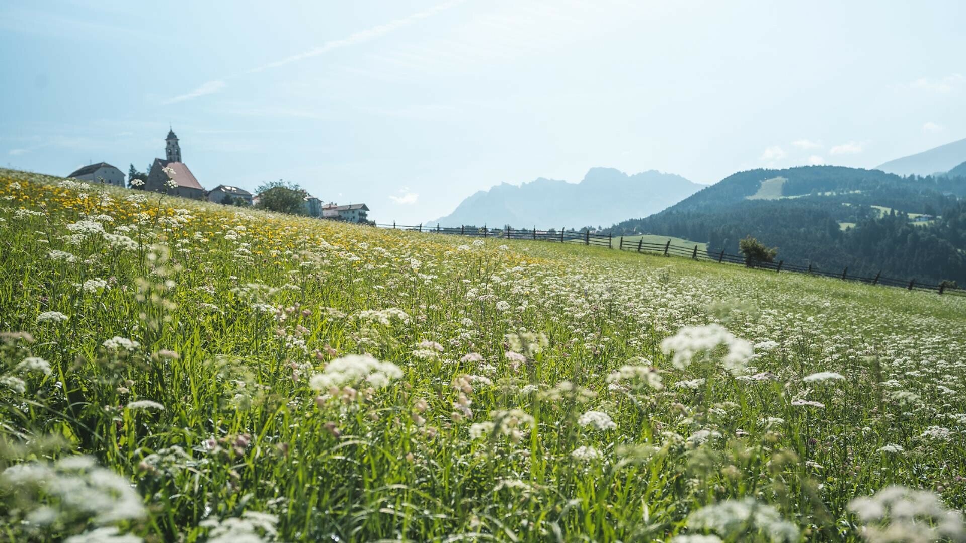
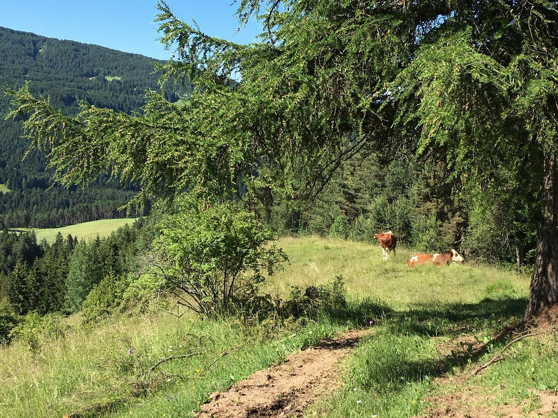
This hike is a wonderful way to experience the pristine natural beauty surrounding the village of Deutschnofen. Starting from the village center, the trail gently ascends through meadows and forests, passing quiet farmsteads and peaceful woodland.
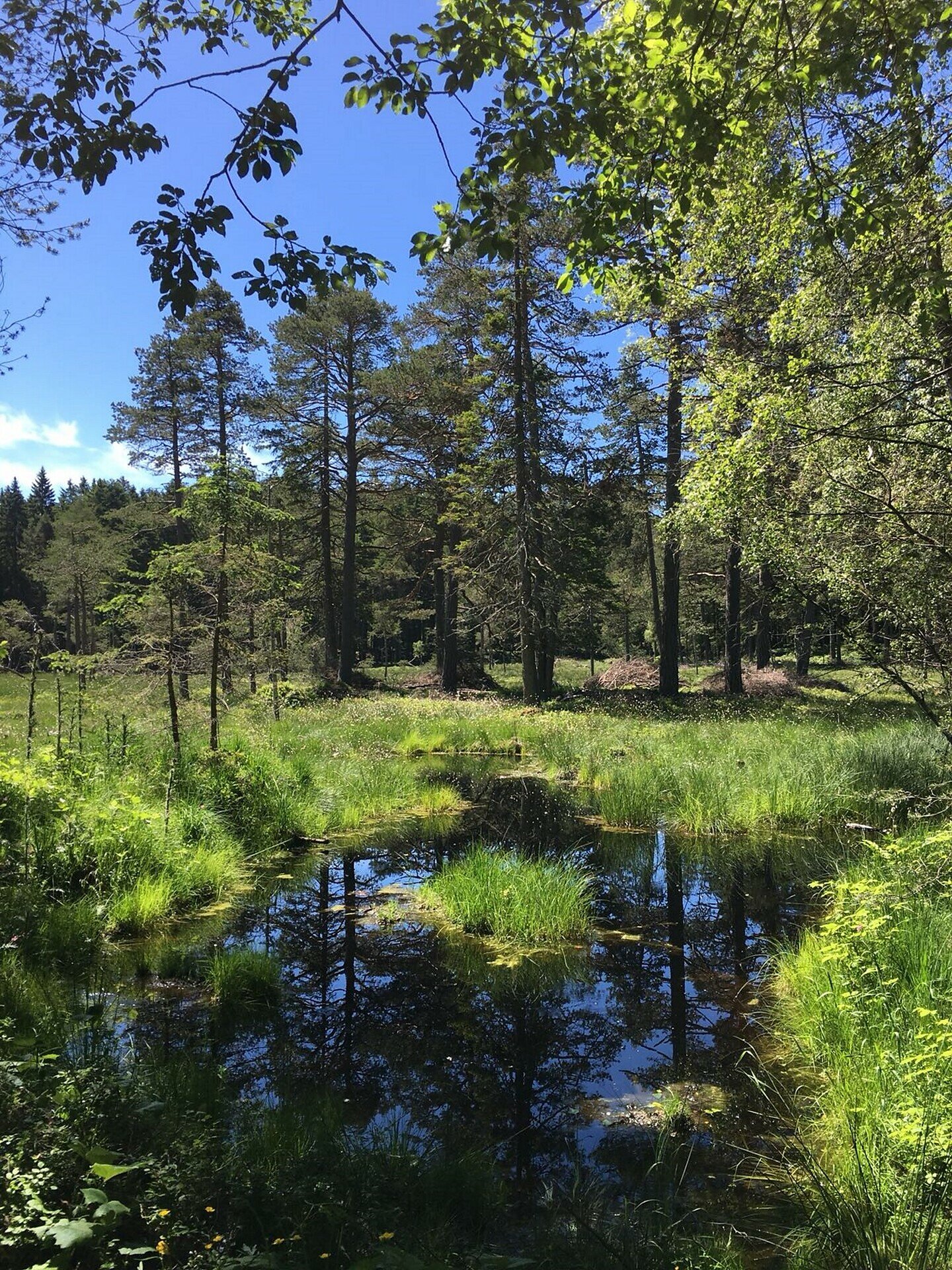
A true highlight is the “Totes Moos” biotope – a protected wetland area home to rare plants and wildlife. It’s a place of silence and serenity, where nature reveals its quiet power.
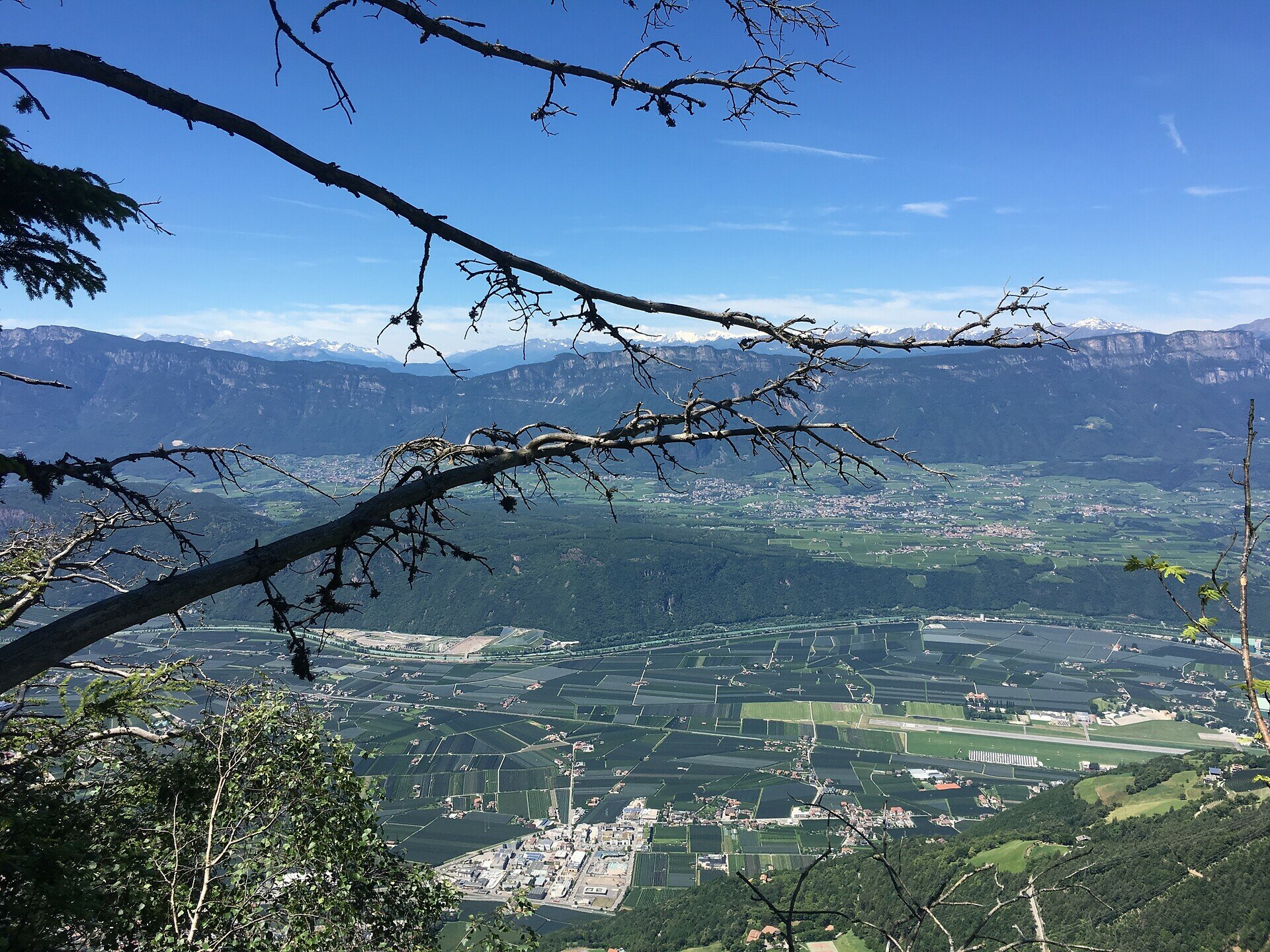
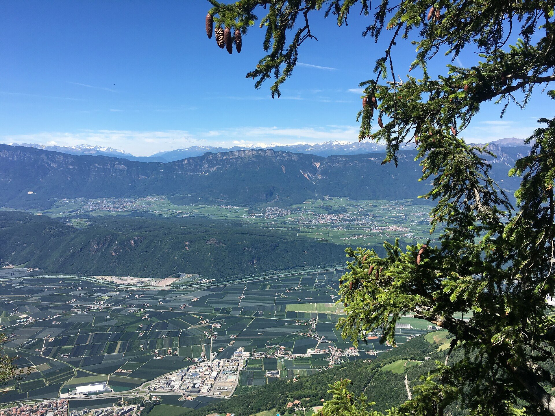
From there, the trail continues through dense forest paths until it opens up to breathtaking views. At Rotstein and Rotwand, hikers are rewarded with scenic vistas and dramatic color contrasts between red rock formations and lush greenery.
This tour is perfect for nature lovers, families with some hiking experience, and anyone seeking peaceful moments and stunning landscapes far from the crowds.
Gallery
Categories
  • Hiking trail
Tags
  • Linear route
Route info
Intermediate
Distance
8,0 km
Activity time
2 h 30 min
Ascent
324 m
Descent
157 m
Physical effort
Scenary
Highest point
1.536 m
Lowest point
1.284 m
You might be interested in
Discover related tours
Welschnofen
Kaiserstein Tour
Distance 17,9 km
Activity time 1 h 45 min
Ascent 113 m
Descent 256 m
Status
open
Earth pyramids Steinegg|Collepietra | © Sternendorf - Tschager Alfred, Eggental – Val d’Ega
Intermediate
Add to favourites
Steinegg
Pyramid path in Steinegg|Collepietra
Distance 5,9 km
Activity time 1 h 52 min
Ascent 355 m
Descent 355 m
Status
open
Welschnofen
Family hike from the Frommer Alm hut to the Ochsenhütte hut
Distance 2,2 km
Activity time 38 min
Ascent 102 m
Descent 53 m
Status
open
Welschnofen
From the Frommer Alm to the Lake Carezza
Distance 5,6 km
Activity time 1 h 30 min
Ascent 107 m
Descent 295 m
Status
open
Obereggen, Deutschnofen
Hike from Obereggen to Lavazè
Distance 15,2 km
Activity time 4 h 55 min
Ascent 627 m
Descent 627 m
Status
open
Mayrl Alm Hut | © Eggental Tourismus, Eggental – Val d’Ega
Intermediate
Add to favourites
Deutschnofen
Family-hike on the hut-trail of Obereggen
Distance 10,9 km
Activity time 3 h 15 min
Ascent 442 m
Descent 442 m
Status
open
Mountain Pass
1 Ticket – 17 lifts – 3 mountains

Holders of the Mountain Pass can use 17 lifts in the heart of the RosengartenLatemar and Schlern/Sciliar any three or five days within a period of seven consecutive days.

More informations