Multi day trekking "Sentiero Italia" - Stage: Obereggen - Rif. A. Fronza alle Coronelle
A journey through the Wonderland - from north to south!
The "Sentiero Italia" is one of the longest hiking trails in the world: over 7,000 kilometres.
There are about 400 stages that connect the Alps with the Apennines.
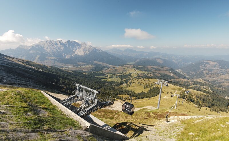
The Sentiero Italia moves from the Latemar massif of the Dolomites to the nearby Rosengarten/Rosengarten massif with this rather long stage, which is characterised by a discreet difference in altitude. From the Alpe di Pampeago on path [9], you reach the Reiterjoch, before continuing on path [9] to Obereggen. Continue on path [9] and then on path [8] to reach the legendary Lake Carezza. Crossing the new suspension bridge you reach path [6], which leads to a mill, from where path [9] takes you directly to the foot of the Catinaccio. Via trail [552] and trail [549] (Hirzelsteig) we continue to the stage destination, the Kölner Hütte.
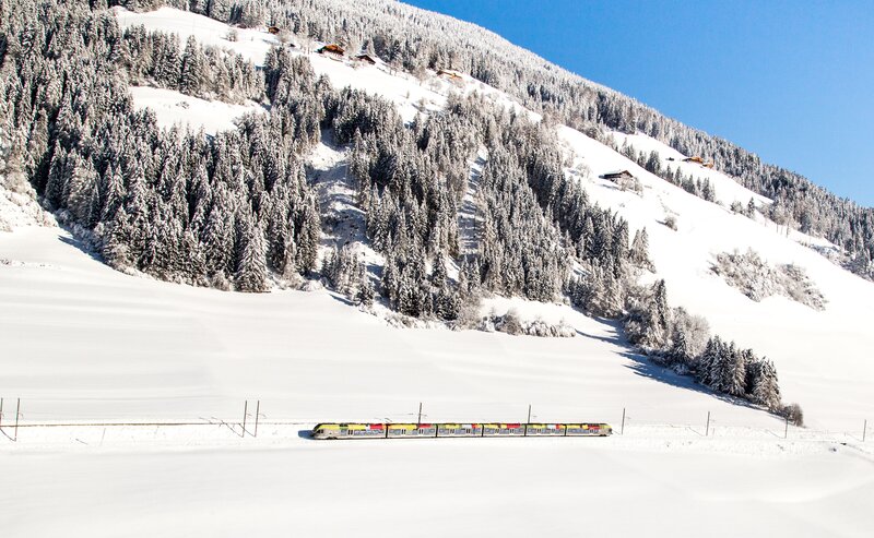
Getting to the starting point of the tour by public transport is easy and convenient.
By public bus line:
- 180 from Bozen | Bolzano,
- 180 or 184 from Karersee | Lago di Carezza, Karerpass | Passo Costalunga, Welschnofen | Nova Levante
- 184 from Birchabruck | Ponte Nova, Stenk, Eggen | Ega
- 184 from Weissenstein | Pietralba, Petersberg |Monte San Pietro, Deutschnofen | Nova Ponente
- 182 from Steinegg | Collepietra, Gummer | San Valentino
- 180 from Val di Fassa
Bus stop:Obereggen; online timetable search at www.suedtirolmobil.info/en/
Meeting point: Passo Pampeago Pass: https://goo.gl/maps/5jkZHWpbYmRp8pt58
By car: Destination: Obereggen Parking: Parking lot Obereggen
Meeting point: Passo Pampeago Pass: https://goo.gl/maps/5jkZHWpbYmRp8pt58
Parking: Parking lot Obereggen
Meeting point: Passo Pampeago Pass: https://goo.gl/maps/5jkZHWpbYmRp8pt58
