


Those who climb the summit of Weißhorn are rewarded not only with a breathtaking panoramic view – this hike is a true experience for body, mind, and soul. The path starts at the pilgrimage site Maria Weißenstein, a place of silence and contemplation, and leads through the rustic Kösertal, over gentle alpine meadows, through mountain pines, and finally into high alpine terrain.
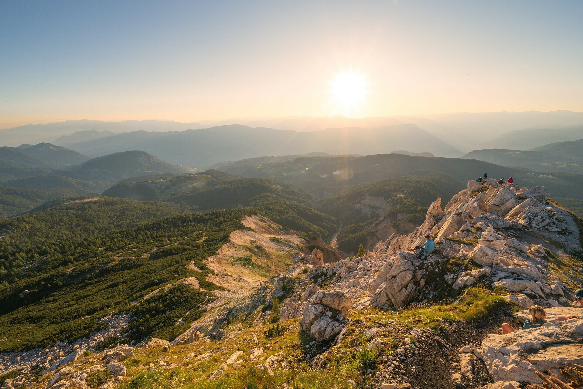
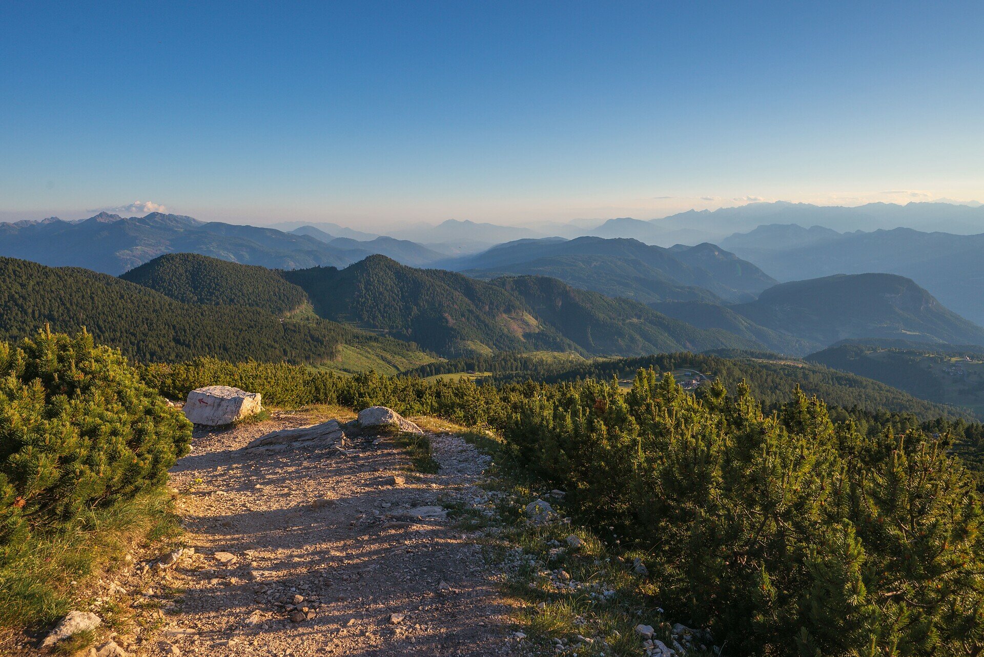
Once at the top, a 360° panoramic view opens up of the Dolomites, the Zillertal and Sarntal Alps, the Rosengarten, and even as far as the Ortler – a feeling of vastness that leaves one speechless.
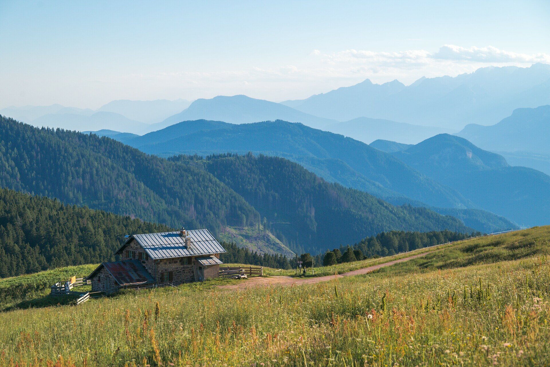
On the way back, a break at the Neuhütt Alm is worthwhile before returning back into the valley. A hike full of contrasts – between spirituality and nature, between panoramic views and grounding. Ideal for sure-footed hikers who love the alpine mountain world.
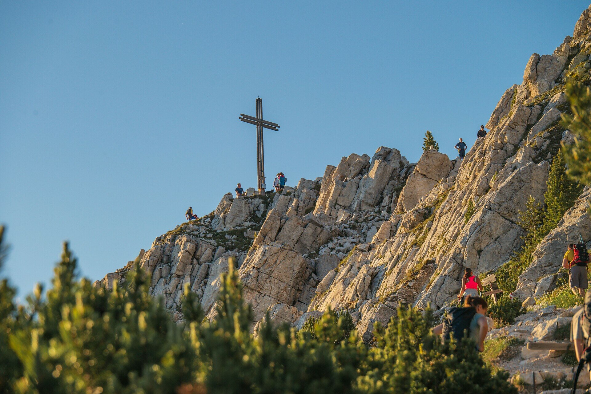
The hike starts at the pilgrimage site Maria Weißenstein at 1,520 m elevation. You initially follow path [S] through the idyllic Kösertal, past meadows and through light forest. After about 45 minutes, you reach the European long-distance trail [E5], which you follow toward Jochgrimm. From the transition onto trail [5], the alpine part of the hike begins: the path leads through mountain pines and over rockier terrain toward the summit. After about 3 hours total walking time, you reach the Weißhorn (2,317 m).
At the top, a magnificent panoramic view opens up of the Dolomites, Ortler, Zillertal Alps, and Sarntal Alps.
The descent goes via Jochgrimm (1,989 m) on path [1], past the managed Neuhütt Alm, and leads back through the Kösertal to Maria Weißenstein.
Total duration of the route: around 6 hours (3 h ascent / 3 h descent)
The starting point of the route is easily and conveniently accessible by public transport.
By public bus line:
- 181 from Bolzano, Birchabruck
- 180 and transfer to 181 or 184 from Karersee, Karerpass, Welschnofen
- 181 or 184 from Deutschnofen, Petersberg
- 184 Obereggen, Eggen
- 182 and transfer to 181 from Steinegg, Gummer
Stop: Weissenstein; Online timetable search on South Tyrol Mobil: www.suedtirolmobil.info
Meeting point: Maria Weissenstein: https://goo.gl/maps/G11JYexvWhLrWUdFA
By car:
Destination: Maria Weissenstein
Parking: Maria Weissenstein car park
Meeting point: Maria Weissenstein: https://goo.gl/maps/G11JYexvWhLrWUdFA
Parking: Maria Weissenstein car park
Meeting point: Maria Weissenstein: https://goo.gl/maps/BNSP7XGxA7


Here you will find all important information on skipasses, daily, multi-day, and seasonal tickets at a glance. All ski passes can be purchased quickly and conveniently online. Buy your skipass directly from home and get a 5% discount!